Wolverhampton
Wolverhampton/25/00603/TR
Dog And Partridge Public House High Street Wednesfield Wolverhampton West Midlands WV11 1SZ
- Reference
- Wolverhampton/25/00603/TR
- Authority
- Wolverhampton
- Application type
- TR
- Address
- Dog And Partridge Public House High Street Wednesfield Wolverhampton West Midlands WV11 1SZ
- Postcode
- WV11 1SZ
- Status
- Decided
- Received
- 23 May 2025
- Validated
- 23 May 2025
- Started
- 23 May 2025
- Decided
- 12 Aug 2025
- Source council
- Wolverhampton
- Council source record
- View public record
- Public data licence
- Open Government Licence v3.0
- Record updated
- 18 Jul 2026
- SEO index generated
- 24 Jul 2026
Location
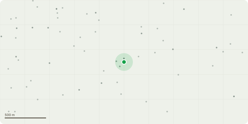
Approximate location
Proposal
TPO:T1 Ash - Crown reduce by no more than 2m and removing material no greater than 25mm - purpose is to make a more compact crown.Conservation Area:T2 - Laburnum - Next to marquee, poor condition, decay present on trunk - FellT5 - Ash (part of G2) - Growing too close to boundary wall and buttress, likely to cause structural damage - Fell + eco plug to prevent re-growthT6 - Blackthorn ? - Tree growing in courtyard and close to building wall, likely to cause future structural damage - Fell + eco plug to prevent re-growthT3 - Weeping Ash (TPO) - Crown lift to no more than 4m all round in order to clear garden infrastructure, remove deadwood and internal epicormic growthT4 - Crown lift to 2.5m clearance beneath and lift branch tips to clear garages by at least 2mG1 - Mixed Group - East boundary and overhanging public car park - Crown lift over car park to 3m, remove major deadwood and reduce any overextended lateral branches.G2 - Mixed Group (Conifer, self-set Ash, Goat Willow) - Trees overhanging garages, in contact with wall and roof and overhanging terrace to neighbouring flats. - Fell self-set trees that are in contact with garages/walls - Crown lift others to achieve at least 2m clearance over garages, trim back conifers as far as practicable, and ensure they are not in contact with structures.Specification altered by agreement with applicant.
Key dates
- Received 23 May 2025
- Validated 23 May 2025
- Started 23 May 2025
- Decided 12 Aug 2025
Planning history / related applications
No related planning applications have been identified in the current public OGL dataset.
Inside plotEdge
Go beyond the public record
This page is the public OGL record. plotEdge adds the private intelligence layer for this site - open it in the app to unlock:
- Ownership & title Registered owner and title from HM Land Registry.
- Viability & build potential Site scoring and development upside.
- Constraints Flood risk, green belt, conservation areas and designations.
- Approval signal Planning risk and approval-likelihood analysis.
- Comparable applications Decisions on similar nearby sites, side by side.
- Status alerts Get notified the moment this application changes.
Source: public planning application data from Wolverhampton, reused under the Open Government Licence v3.0. View the council source record. Council documents and drawings are not republished on plotEdge.