Wolverhampton
Wolverhampton/25/00078/TN
25 Stockwell Road Wolverhampton West Midlands WV6 9PG
- Reference
- Wolverhampton/25/00078/TN
- Authority
- Wolverhampton
- Application type
- TN
- Address
- 25 Stockwell Road Wolverhampton West Midlands WV6 9PG
- Postcode
- WV6 9PG
- Status
- Decided
- Received
- 28 Jan 2025
- Validated
- 28 Jan 2025
- Started
- 28 Jan 2025
- Decided
- 5 Feb 2025
- Source council
- Wolverhampton
- Council source record
- View public record
- Public data licence
- Open Government Licence v3.0
- Record updated
- 18 Jul 2026
- SEO index generated
- 24 Jul 2026
Location
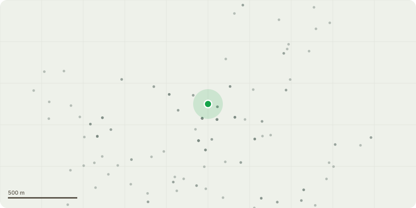
Approximate location
Proposal
There is a 30 to 40-year-old Conifer tree in the property's front garden that has outgrown its location. It is important to note that this tree does not have a Tree Preservation Order (TPO).The recent intense weather has caused the tree to sway dangerously towards the property, posing a potential threat to the safety of my property and its occupants. Removing this tree will not only mitigate this immediate risk but also provide additional benefits:Growth of Hedge: The removal of the tree will allow the adjacent hedge to grow more effectively, providing security and privacy to the property. Currently, the area of the hedge where the tree is situated is patchy at best, and due to insufficient growth of the hedge, the public walking on the footpath of Stockwell Road can see into the property.Encouragement of Grass and Plant Life: Without the tree, grass and other plant life will have a better opportunity to flourish in improved sunlight.Reduction of Pressure on Banking: The removal will alleviate pressure on the banking system, which is essential for maintaining the area's structural integrity.Protection of Property's External Wall: Due to the tree, a fence post had become dislodged which has been fixed hence the tree's removal will help prevent potential damage to my property's external wall.
Key dates
- Received 28 Jan 2025
- Validated 28 Jan 2025
- Started 28 Jan 2025
- Decided 5 Feb 2025
Planning history / related applications
No related planning applications have been identified in the current public OGL dataset.
Inside plotEdge
Go beyond the public record
This page is the public OGL record. plotEdge adds the private intelligence layer for this site - open it in the app to unlock:
- Ownership & title Registered owner and title from HM Land Registry.
- Viability & build potential Site scoring and development upside.
- Constraints Flood risk, green belt, conservation areas and designations.
- Approval signal Planning risk and approval-likelihood analysis.
- Comparable applications Decisions on similar nearby sites, side by side.
- Status alerts Get notified the moment this application changes.
Source: public planning application data from Wolverhampton, reused under the Open Government Licence v3.0. View the council source record. Council documents and drawings are not republished on plotEdge.