Wolverhampton
Wolverhampton/25/00022/TR
8B Stockwell Road Wolverhampton West Midlands WV6 9AX
- Reference
- Wolverhampton/25/00022/TR
- Authority
- Wolverhampton
- Application type
- TR
- Address
- 8B Stockwell Road Wolverhampton West Midlands WV6 9AX
- Postcode
- WV6 9AX
- Status
- Decided
- Received
- 14 Jan 2025
- Validated
- 13 Mar 2025
- Started
- 13 Mar 2025
- Decided
- 19 Mar 2025
- Source council
- Wolverhampton
- Council source record
- View public record
- Public data licence
- Open Government Licence v3.0
- Record updated
- 18 Jul 2026
- SEO index generated
- 24 Jul 2026
Location
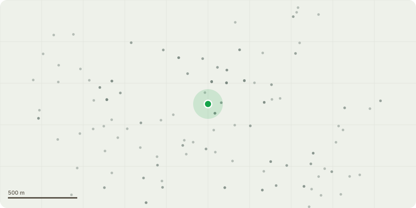
Approximate location
Proposal
Beech tree (281) under TPO 02/2/23 at 8b Stockwell Road, Tettenhall, WV6 9AXThe Beech tree is a mature tree with a spread on the crown that slightly overhangs the fence at either side (the fence with the adjacent properties at 8a and 8c Stockwell Road). In recent high winds, it was observed that some of the large limbs move and a tree surgeon visited the property to advise as to whether any work should be undertaken for the purpose of prolonging the life of the tree. The tree surgeon advised that it would be appropriate to have an 'overall volume reduction of one third all round' which would reduce the windage and therefore reduce the stress on the limbs in periods of high wind. The tree surgeon said that such a volume reduction would also promote new growth at the points where the limbs were cut. He also noted that two of the very large boughs touched and I believe that the proposed reduction of the crown area would reduce the movement in high winds where the boughs touch.The objective is the welfare of the Beech tree and to ensure that it is not susceptible to being broken or having its roots destabilised in future periods of high wind.
Key dates
- Received 14 Jan 2025
- Validated 13 Mar 2025
- Started 13 Mar 2025
- Decided 19 Mar 2025
Planning history / related applications
No related planning applications have been identified in the current public OGL dataset.
Inside plotEdge
Go beyond the public record
This page is the public OGL record. plotEdge adds the private intelligence layer for this site - open it in the app to unlock:
- Ownership & title Registered owner and title from HM Land Registry.
- Viability & build potential Site scoring and development upside.
- Constraints Flood risk, green belt, conservation areas and designations.
- Approval signal Planning risk and approval-likelihood analysis.
- Comparable applications Decisions on similar nearby sites, side by side.
- Status alerts Get notified the moment this application changes.
Source: public planning application data from Wolverhampton, reused under the Open Government Licence v3.0. View the council source record. Council documents and drawings are not republished on plotEdge.