Wolverhampton
Wolverhampton/25/00004/TN
6 Church Hill Drive Wolverhampton West Midlands WV6 9AS
- Reference
- Wolverhampton/25/00004/TN
- Authority
- Wolverhampton
- Application type
- TN
- Address
- 6 Church Hill Drive Wolverhampton West Midlands WV6 9AS
- Postcode
- WV6 9AS
- Status
- Decided
- Received
- 6 Jan 2025
- Validated
- 18 Aug 2025
- Started
- 18 Aug 2025
- Decided
- 18 Aug 2025
- Source council
- Wolverhampton
- Council source record
- View public record
- Public data licence
- Open Government Licence v3.0
- Record updated
- 18 Jul 2026
- SEO index generated
- 24 Jul 2026
Location
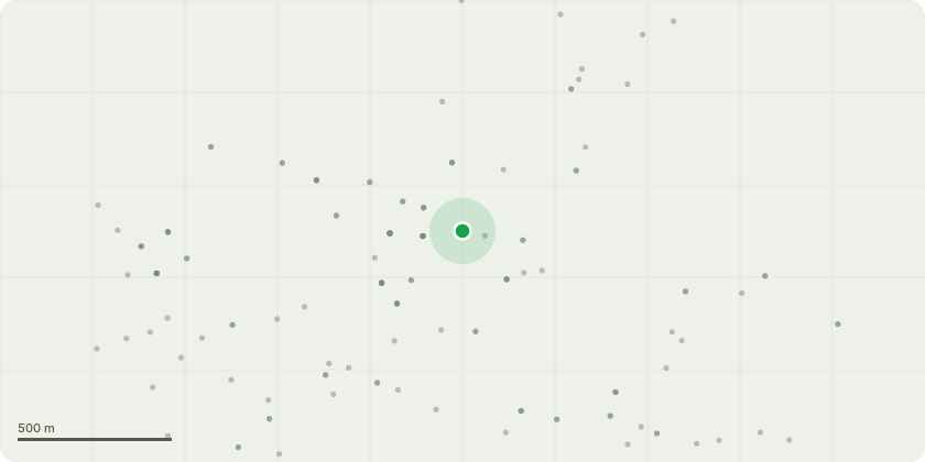
Approximate location
Proposal
The tree in question has already been visited by the local authority tree officer, who has stated that the tree is not of significant visual importance.The tree has never been managed since 1987 (when my father moved into the adjoining property, 6a Church Hill Drive). The tree (Pine) sits on the very periphery on number 6 land, and abuts my boundary. The tree is far too tall and the roots are now interfering with the main drainage (which goes across my land) the drain serving all residents of Church Hill drive. I am also suspicious that the roots are getting under my property causing my outside brick walk ways to lift and subside. We have experienced high winds recently, and I had to move out of my bedroom as I was concerned for the safety of my family that the tree would fall onto my bungalow and through the roof into my bedroom. One tree blew down in the gales luckily missing my property, see photoNumber 6, Church Hill Drive in which the tree resides, is a dilapidated, abandoned building. The owner of which only visits infrequently. I have spoken to the owner of number 6 (Mr Tutt) who is fully aware of my genuine concerns and has no objection to the removal of the tree. The tree can't be seen by the general public. The tree only compromises my property and has lost its ascetical appeal as it is too large. I attach photo's to help you understand my application fully. Kind RegardsMax Shelley
Key dates
- Received 6 Jan 2025
- Validated 18 Aug 2025
- Started 18 Aug 2025
- Decided 18 Aug 2025
Planning history / related applications
No related planning applications have been identified in the current public OGL dataset.
Inside plotEdge
Go beyond the public record
This page is the public OGL record. plotEdge adds the private intelligence layer for this site - open it in the app to unlock:
- Ownership & title Registered owner and title from HM Land Registry.
- Viability & build potential Site scoring and development upside.
- Constraints Flood risk, green belt, conservation areas and designations.
- Approval signal Planning risk and approval-likelihood analysis.
- Comparable applications Decisions on similar nearby sites, side by side.
- Status alerts Get notified the moment this application changes.
Source: public planning application data from Wolverhampton, reused under the Open Government Licence v3.0. View the council source record. Council documents and drawings are not republished on plotEdge.