Wolverhampton
Wolverhampton/24/01161/TN
1 Stockwell Road Wolverhampton West Midlands WV6 9AX
- Reference
- Wolverhampton/24/01161/TN
- Authority
- Wolverhampton
- Application type
- TN
- Address
- 1 Stockwell Road Wolverhampton West Midlands WV6 9AX
- Postcode
- WV6 9AX
- Status
- Decided
- Received
- 29 Oct 2024
- Validated
- 6 Nov 2024
- Started
- 6 Nov 2024
- Decided
- 6 Dec 2024
- Source council
- Wolverhampton
- Council source record
- View public record
- Public data licence
- Open Government Licence v3.0
- Record updated
- 18 Jul 2026
- SEO index generated
- 24 Jul 2026
Location
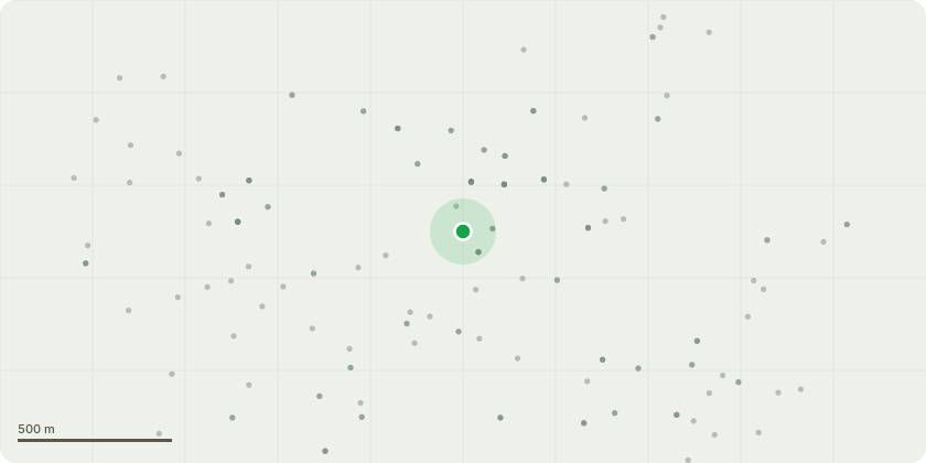
Approximate location
Proposal
Following an on site meeting with an LPA officer, and advice given about what works would be acceptable, we propose the following works of improvement to both ensure safety and to increase the visual impact of the site from a conservation area perspective.1) The removal of a Lawson Cypress on the front boundary which is leaning towards the property to a significant degree. The LPA Officer agreed this is leaning at a dangerous angle and there are existing trees that would benefit from the extra light.2)The removal of a Western Red Cedar and additional Fir Trees on the southern front boundary adjoining the car park, as marked on the accompanying diagram, which are not visually attractive, and the replacement with two Amelanchier Trees to create a more attractive setting for a conservation area. The LPA Officer agreed the Fir Trees are not healthy specimens and the Western Red Cedar has become too overpowering and encroaches into the public areas of the car park creating a health hazard.3) The removal of Fir Trees on the southern boundary in the rear garden of the property. The LPA Officer agreed that these are not publicly visible and provide no conservation area benefit. There are existing trees that would benefit from the light.4) The pruning and shaping of existing Fir and Laurel Trees in the rear garden which are not publicly visible. The LPA Officer agreed that these require general works of maintenance to ensure health and longevity.
Key dates
- Received 29 Oct 2024
- Validated 6 Nov 2024
- Started 6 Nov 2024
- Decided 6 Dec 2024
Planning history / related applications
No related planning applications have been identified in the current public OGL dataset.
Inside plotEdge
Go beyond the public record
This page is the public OGL record. plotEdge adds the private intelligence layer for this site - open it in the app to unlock:
- Ownership & title Registered owner and title from HM Land Registry.
- Viability & build potential Site scoring and development upside.
- Constraints Flood risk, green belt, conservation areas and designations.
- Approval signal Planning risk and approval-likelihood analysis.
- Comparable applications Decisions on similar nearby sites, side by side.
- Status alerts Get notified the moment this application changes.
Source: public planning application data from Wolverhampton, reused under the Open Government Licence v3.0. View the council source record. Council documents and drawings are not republished on plotEdge.