Wolverhampton
Wolverhampton/24/00837/TR
9 Stockwell Road Wolverhampton West Midlands WV6 9PQ
- Reference
- Wolverhampton/24/00837/TR
- Authority
- Wolverhampton
- Application type
- TR
- Address
- 9 Stockwell Road Wolverhampton West Midlands WV6 9PQ
- Postcode
- WV6 9PQ
- Status
- Decided
- Received
- 5 Aug 2024
- Validated
- 5 Aug 2024
- Started
- 5 Aug 2024
- Decided
- 10 Oct 2024
- Source council
- Wolverhampton
- Council source record
- View public record
- Public data licence
- Open Government Licence v3.0
- Record updated
- 18 Jul 2026
- SEO index generated
- 24 Jul 2026
Location
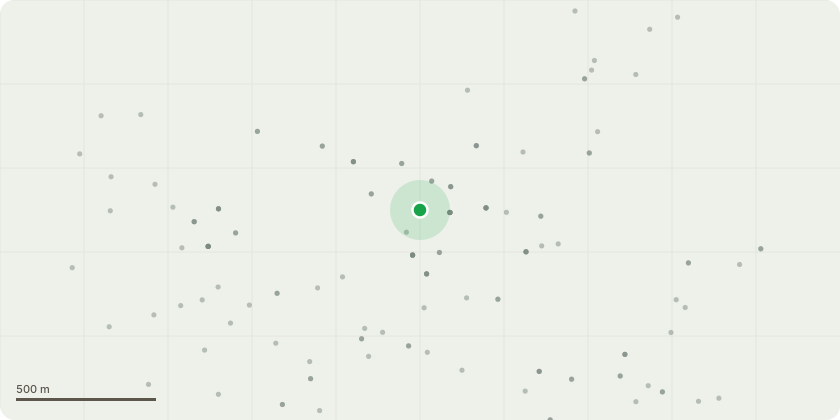
Approximate location
Proposal
Since the original planning report was submitted (originally 2017 and then updated for 2023), T320 has deteriorated significantly and we believe it will cause an unacceptable safety risk to users of the road which is passing under part of the canopy.In addition, the revised road alignment would impact the RPA of T320 by 22.33% and technically this tree would therefore require removal. (Although, it is already 21% on the approved road alignment). T314, whilst in better condition than T320, is a low quality tree whose removal would have no impact on the visual amenity of the site. The new road alignment will impact on RPA of T314 by 35.86% and technically this tree would therefore require removal. (although its already 24% on current road alignment).By altering the road position we propose to retain the following trees which were originally due to be removed:T301, T328, T329, T330.In order to offset the removal of T314 and T320 we would specifically look to provide two new trees which reflect the landscape character of the period:1Nr. Wellingtonia (Giant Redwood),1Nr. Coast redwood.We would look to locate them in the open grassy area which would provide them with the opportunity to reach maturity.In addition, we have also provided a landscape plan which proposes 16 new trees and extensive planting to massively enhance the landscape over the currently overgrown and unkept site.
Key dates
- Received 5 Aug 2024
- Validated 5 Aug 2024
- Started 5 Aug 2024
- Decided 10 Oct 2024
Planning history / related applications
No related planning applications have been identified in the current public OGL dataset.
Inside plotEdge
Go beyond the public record
This page is the public OGL record. plotEdge adds the private intelligence layer for this site - open it in the app to unlock:
- Ownership & title Registered owner and title from HM Land Registry.
- Viability & build potential Site scoring and development upside.
- Constraints Flood risk, green belt, conservation areas and designations.
- Approval signal Planning risk and approval-likelihood analysis.
- Comparable applications Decisions on similar nearby sites, side by side.
- Status alerts Get notified the moment this application changes.
Source: public planning application data from Wolverhampton, reused under the Open Government Licence v3.0. View the council source record. Council documents and drawings are not republished on plotEdge.