Woking
Woking/TREE/2025/8276
Willow Grange Broomcroft Drive Pyrford Woking Surrey GU22 8NS
- Reference
- Woking/TREE/2025/8276
- Authority
- Woking
- Address
- Willow Grange Broomcroft Drive Pyrford Woking Surrey GU22 8NS
- Postcode
- GU22 8NS
- Status
- Decided
- Decision
- Permitted
- Received
- 16 Oct 2025
- Validated
- 16 Oct 2025
- Started
- 16 Oct 2025
- Decided
- 28 Nov 2025
- Source council
- Woking
- Council source record
- View public record
- Public data licence
- Open Government Licence v3.0
- Record updated
- 18 Jul 2026
- SEO index generated
- 24 Jul 2026
Location
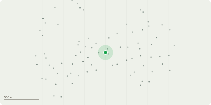
Approximate location
Proposal
1 - False Acacia: (Left side of rear garden) Reduce crown back to previous reduction points to maintain shape and manage size, work will encourage healthy regrowth and reduce excessive shading in this area. 2 - Magnolia: (rear garden) Reduce crown back to previous reduction points to maintain its compact, ornamental form. This is general maintenance to control size and improve light penetration to the garden. 3 - False Acacia: (rear garden) Reduce crown back to previous reduction points in line with past cyclical maintenance. Work is necessary to manage canopy size, ensure safe clearance from paths and structures, and promote tree health. 4 - Lawson Cypress: (rear of property, close to building) Fell to ground level due to its close proximity to the building. The tree poses a potential risk to the structure and limits access for building maintenance. 5 - Lawson Cypress: (boundary tree near Public Footpath) Fell to ground level due to the tree causing damage to the boundary wall and creating a potential safety hazard to pedestrians using the adjacent public footpath. (Works subject to TPO 626/0023/1959)
Key dates
- Received 16 Oct 2025
- Validated 16 Oct 2025
- Started 16 Oct 2025
- Decided 28 Nov 2025
Planning history / related applications
No related planning applications have been identified in the current public OGL dataset.
Inside plotEdge
Go beyond the public record
This page is the public OGL record. plotEdge adds the private intelligence layer for this site - open it in the app to unlock:
- Ownership & title Registered owner and title from HM Land Registry.
- Viability & build potential Site scoring and development upside.
- Constraints Flood risk, green belt, conservation areas and designations.
- Approval signal Planning risk and approval-likelihood analysis.
- Comparable applications Decisions on similar nearby sites, side by side.
- Status alerts Get notified the moment this application changes.
Source: public planning application data from Woking, reused under the Open Government Licence v3.0. View the council source record. Council documents and drawings are not republished on plotEdge.