Windsor and Maidenhead
Windsor and Maidenhead/26/01638/CONDIT
Billingbear Park Golf Club The Straight Mile Wokingham RG40 5SJ
- Reference
- Windsor and Maidenhead/26/01638/CONDIT
- Authority
- Windsor and Maidenhead
- Application type
- CONDIT
- Address
- Billingbear Park Golf Club The Straight Mile Wokingham RG40 5SJ
- Postcode
- RG40 5SJ
- Status
- Awaiting decision
- Received
- 6 Jul 2026
- Started
- 6 Jul 2026
- Source council
- Windsor and Maidenhead
- Council source record
- View public record
- Public data licence
- Open Government Licence v3.0
- Record updated
- 18 Jul 2026
- SEO index generated
- 24 Jul 2026
Location
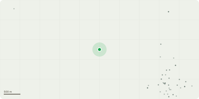
Approximate location
Proposal
Details required by Condition (2) (materials sample board) (3) (tree protection) (4) (electric vehicle charging details) (5) (hard and soft landscaping scheme) (6) (Ecological Mitigation Scheme and updated Biodiversity Net Gain Assessment) (7- Part A) (Biodiversity Gain Plan) (7- Part B) (Habitat Management and monitoring plan) (8) (construction environmental management plan) (9) (biodiversity enhancements) (11 - second part) (Energy and sustainability statement) (12) (surface water drainage system) (14) (flood warning and evacuation plan) (15) (drainage network upgrades) (16) (archaeological work) (18) (certificate from the Delivery Partner) (20) ( bicycle storage facilities) (23 - partial in relation to phase 1) (site specific Construction Environmental Management Plan) (24) ( delivery and servicing plan) (25) (car park management plan) of planning permission (26/00128/FULL) for a (Phased development of the site, comprising construction of padel tennis and pickleball courts (Phase 1); construction of a putting course (Phase 2); and demolition of existing marquee to the rear of the clubhouse and replacement with new extension and construction of a simulator building (Phase 3); together with car parking alterations and hard and soft landscaping.
Key dates
- Received 6 Jul 2026
- Started 6 Jul 2026
Planning history / related applications
No related planning applications have been identified in the current public OGL dataset.
Inside plotEdge
Go beyond the public record
This page is the public OGL record. plotEdge adds the private intelligence layer for this site - open it in the app to unlock:
- Ownership & title Registered owner and title from HM Land Registry.
- Viability & build potential Site scoring and development upside.
- Constraints Flood risk, green belt, conservation areas and designations.
- Approval signal Planning risk and approval-likelihood analysis.
- Comparable applications Decisions on similar nearby sites, side by side.
- Status alerts Get notified the moment this application changes.
Source: public planning application data from Windsor and Maidenhead, reused under the Open Government Licence v3.0. View the council source record. Council documents and drawings are not republished on plotEdge.