Windsor and Maidenhead
Windsor and Maidenhead/25/03326/TCA
The Queen Anne Royal Free CE Controlled First School Chaucer Close Windsor SL4 3EH
- Reference
- Windsor and Maidenhead/25/03326/TCA
- Authority
- Windsor and Maidenhead
- Application type
- Trees in conservation area
- Address
- The Queen Anne Royal Free CE Controlled First School Chaucer Close Windsor SL4 3EH
- Postcode
- SL4 3EH
- Status
- Decided
- Decision
- Application Permitted
- Received
- 16 Jan 2026
- Validated
- 16 Jan 2026
- Started
- 16 Jan 2026
- Decided
- 6 May 2026
- Source council
- Windsor and Maidenhead
- Council source record
- View public record
- Public data licence
- Open Government Licence v3.0
- Record updated
- 18 Jul 2026
- SEO index generated
- 24 Jul 2026
Location
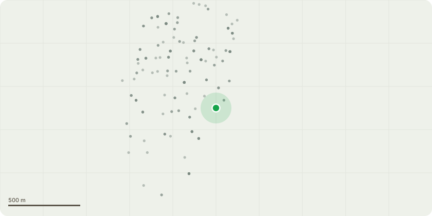
Approximate location
Proposal
(G2) Ash, Hazel, Elder - Lift the crowns to a height above ground level of 4m to clear the street lamp heads. (T8) Cherry Laurel/Plum - There are broken branches and major deadwood present. Remove broken branches. (T14) Oak - Remove deadwood and inspect the crown for defects. (T15) Western Red Cedar - There is one weakly attached branch within falling distance of the grassed area. Remove weak branch. (T16) Western Red Cedar - Remove deadwood.(T19) Dead Holly - Remove to a 2m habitat pole. Retain all cord and stem wood in a neat eco pile. (T23) Indian Bean tree - Medium deadwood present throughout the canopy. (T24) Ash - Remove deadwood and hanging branch. (T29,30) Sycamore - Carry out a full aerial inspection with a view to collecting supporting evidence for a possible CA application. (V31) Various species - Sever Ivy on all trees in the woodland area to the front of the school. Remove leaning Elder. (T32) Common Ash - Remove as close to ground level as practicable.
Key dates
- Received 16 Jan 2026
- Validated 16 Jan 2026
- Started 16 Jan 2026
- Decided 6 May 2026
Planning history / related applications
No related planning applications have been identified in the current public OGL dataset.
Inside plotEdge
Go beyond the public record
This page is the public OGL record. plotEdge adds the private intelligence layer for this site - open it in the app to unlock:
- Ownership & title Registered owner and title from HM Land Registry.
- Viability & build potential Site scoring and development upside.
- Constraints Flood risk, green belt, conservation areas and designations.
- Approval signal Planning risk and approval-likelihood analysis.
- Comparable applications Decisions on similar nearby sites, side by side.
- Status alerts Get notified the moment this application changes.
Source: public planning application data from Windsor and Maidenhead, reused under the Open Government Licence v3.0. View the council source record. Council documents and drawings are not republished on plotEdge.