Winchester
Winchester/26/01270/TPO
Beechcroft George Eyston Drive Winchester Hampshire SO22 4PE
- Reference
- Winchester/26/01270/TPO
- Authority
- Winchester
- Application type
- Tree preservation order
- Address
- Beechcroft George Eyston Drive Winchester Hampshire SO22 4PE
- Postcode
- SO22 4PE
- Status
- Current
- Received
- 3 Jun 2026
- Validated
- 3 Jun 2026
- Started
- 3 Jun 2026
- Source council
- Winchester
- Council source record
- View public record
- Public data licence
- Open Government Licence v3.0
- Record updated
- 18 Jul 2026
- SEO index generated
- 24 Jul 2026
Location
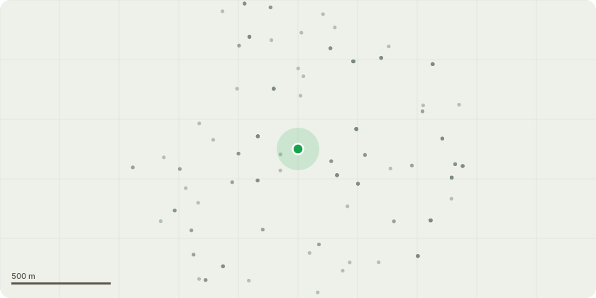
Approximate location
Proposal
Submitted as 26/01164/TPC. To fully remove a boundary hedge of leylandii bushes and trees totalling about 35 plants along a 40m boundary edge of my property. The plants sit within my garden to provide a screen from my neighbour's garden however they have grown too tall and block light to our property. The neighbour also prefers to have the plants removed as they are now too tall to easily maintain and look scrappy. The plants would be removed from the property and the stumps ground down. They will be replaced with a wooden fence and planting of native species of trees and shrubs such as yew, beech and holly to break up the fence line. The Leylandii themselves are not protected but the garden sits within a TPO area due to the large native trees surrounding the property.
Key dates
- Received 3 Jun 2026
- Validated 3 Jun 2026
- Started 3 Jun 2026
Planning history / related applications
No related planning applications have been identified in the current public OGL dataset.
Inside plotEdge
Go beyond the public record
This page is the public OGL record. plotEdge adds the private intelligence layer for this site - open it in the app to unlock:
- Ownership & title Registered owner and title from HM Land Registry.
- Viability & build potential Site scoring and development upside.
- Constraints Flood risk, green belt, conservation areas and designations.
- Approval signal Planning risk and approval-likelihood analysis.
- Comparable applications Decisions on similar nearby sites, side by side.
- Status alerts Get notified the moment this application changes.
Source: public planning application data from Winchester, reused under the Open Government Licence v3.0. View the council source record. Council documents and drawings are not republished on plotEdge.