Winchester
Winchester/26/01227/TPC
Sherborne 3 Lockburn Place St Cross Road Winchester Hampshire SO23 9RE
- Reference
- Winchester/26/01227/TPC
- Authority
- Winchester
- Application type
- TPC
- Address
- Sherborne 3 Lockburn Place St Cross Road Winchester Hampshire SO23 9RE
- Postcode
- SO23 9RE
- Status
- Current
- Received
- 12 Jun 2026
- Validated
- 15 Jun 2026
- Started
- 15 Jun 2026
- Source council
- Winchester
- Council source record
- View public record
- Public data licence
- Open Government Licence v3.0
- Record updated
- 18 Jul 2026
- SEO index generated
- 24 Jul 2026
Location
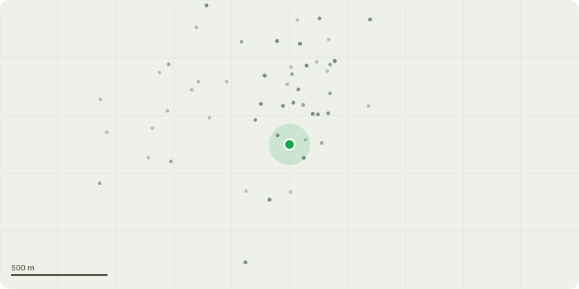
Approximate location
Proposal
We bought the new property from the developer, Alfred Holmes, in February, 2024. The property was originally the Showhouse for Lockburn Place and the Developer included a birch tree, holly tree and a conical evergreen tree in the small rear garden, and a cherry tree in the small front garden. The cherry tree is located approximately 4.5 metres in front of the living room windows. The current approximate size is: Diameter of trunk = 5 cm. Height = 5 metres. Width of foliage = 5 metres. The birch tree is located approximately 6 metres from the kitchen window and 1 metre from the rear wall. The current approximate size is: Diameter of trunk = 7.5 cm. Height = 6 metres ( 2.5 metres broke off the top of the tree in the recent strong winds and landed in our neighbours drive). Width of remaining foliage = 3.5 metres.Both trees were planted in the Showhouse gardens to create an immediate effect. As they mature, both are inappropriate for the size of the garden and are blocking light into the kitchen and living room.We wish to remove them and replace them with something more appropriate to the size of the garden.
Key dates
- Received 12 Jun 2026
- Validated 15 Jun 2026
- Started 15 Jun 2026
Planning history / related applications
No related planning applications have been identified in the current public OGL dataset.
Inside plotEdge
Go beyond the public record
This page is the public OGL record. plotEdge adds the private intelligence layer for this site - open it in the app to unlock:
- Ownership & title Registered owner and title from HM Land Registry.
- Viability & build potential Site scoring and development upside.
- Constraints Flood risk, green belt, conservation areas and designations.
- Approval signal Planning risk and approval-likelihood analysis.
- Comparable applications Decisions on similar nearby sites, side by side.
- Status alerts Get notified the moment this application changes.
Source: public planning application data from Winchester, reused under the Open Government Licence v3.0. View the council source record. Council documents and drawings are not republished on plotEdge.