Winchester
Winchester/26/01104/TPC
37 Alison Way Winchester Hampshire SO22 5BT
- Reference
- Winchester/26/01104/TPC
- Authority
- Winchester
- Application type
- TPC
- Address
- 37 Alison Way Winchester Hampshire SO22 5BT
- Postcode
- SO22 5BT
- Status
- Decided
- Decision
- That no objection be raised
- Received
- 27 May 2026
- Validated
- 28 May 2026
- Started
- 28 May 2026
- Decided
- 3 Jun 2026
- Source council
- Winchester
- Council source record
- View public record
- Public data licence
- Open Government Licence v3.0
- Record updated
- 18 Jul 2026
- SEO index generated
- 24 Jul 2026
Location
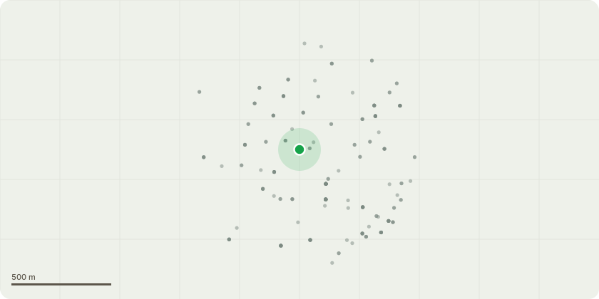
Approximate location
Proposal
Tree Identification:Species: Conifer / Cypress (Cupressocyparis leylandii)Reference Number: T1 (as indicated on the attached sketch plan)Location: Located in the front boundary line, directly adjacent to the metal boundary railings, front security gate, and the brick outbuilding.Full and Clear Specification of Works:Proposed Work: Complete removal (fell to ground level).Technical Specification: 1. Section-dismantle the entire upper canopy and crown of Conifer T1 in small, controlled sections from the top down. This is required due to zero clearance and the extreme proximity of structural property assets.2. Sequentially lower all upper branches and timber sections away from the adjacent outbuilding and metal boundary railings to avoid impact damage.3. Fell the main vertical stem downward to the lowest safe point immediately above the embedded ironwork infrastructure.4. Leave the remaining stump cut flat and flush to the surrounding ground level (or as close to the top of the concrete/soil line as the embedded metal boundary railing allows) to completely neutralise further lateral pressure and growth.5. All timber and brash to be processed and removed from the site.
Key dates
- Received 27 May 2026
- Validated 28 May 2026
- Started 28 May 2026
- Decided 3 Jun 2026
Planning history / related applications
No related planning applications have been identified in the current public OGL dataset.
Inside plotEdge
Go beyond the public record
This page is the public OGL record. plotEdge adds the private intelligence layer for this site - open it in the app to unlock:
- Ownership & title Registered owner and title from HM Land Registry.
- Viability & build potential Site scoring and development upside.
- Constraints Flood risk, green belt, conservation areas and designations.
- Approval signal Planning risk and approval-likelihood analysis.
- Comparable applications Decisions on similar nearby sites, side by side.
- Status alerts Get notified the moment this application changes.
Source: public planning application data from Winchester, reused under the Open Government Licence v3.0. View the council source record. Council documents and drawings are not republished on plotEdge.