Winchester
Winchester/26/00950/LDP
65 Alresford Road Winchester Hampshire SO23 0LA
- Reference
- Winchester/26/00950/LDP
- Authority
- Winchester
- Application type
- LDP
- Address
- 65 Alresford Road Winchester Hampshire SO23 0LA
- Postcode
- SO23 0LA
- Status
- Decided
- Decision
- Lawful Development Certificate - Permit
- Received
- 6 May 2026
- Validated
- 6 May 2026
- Started
- 6 May 2026
- Decided
- 1 Jul 2026
- Source council
- Winchester
- Council source record
- View public record
- Public data licence
- Open Government Licence v3.0
- Record updated
- 18 Jul 2026
- SEO index generated
- 24 Jul 2026
Location
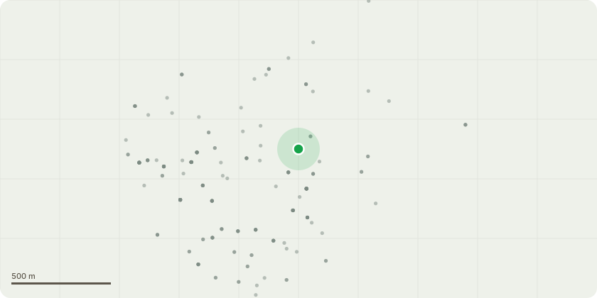
Approximate location
Proposal
The proposal involves the construction of a single-storey detached outbuilding to be used for purposes incidental to the enjoyment of the dwellinghouse (recreation and hobby use).Key operations include:Structure: The erection of a timber-framed building featuring a dual-pitched roof with a ridge height not exceeding 4.0m and an eaves height not exceeding 2.5m.Siting: The building will be situated in the rear garden, maintaining a minimum distance of over 2.0m from all property boundaries.Hard-standing: The construction of a concrete base or screw-pile foundation system to support the structure.Access: No new or altered access to the highway or new streets are proposed.Drainage: Rainwater will be managed via a guttering system directed to a localized soakaway within the property curtilage or connected to the existing surface water system, ensuring no runoff onto neighboring land."
Key dates
- Received 6 May 2026
- Validated 6 May 2026
- Started 6 May 2026
- Decided 1 Jul 2026
Planning history / related applications
No related planning applications have been identified in the current public OGL dataset.
Inside plotEdge
Go beyond the public record
This page is the public OGL record. plotEdge adds the private intelligence layer for this site - open it in the app to unlock:
- Ownership & title Registered owner and title from HM Land Registry.
- Viability & build potential Site scoring and development upside.
- Constraints Flood risk, green belt, conservation areas and designations.
- Approval signal Planning risk and approval-likelihood analysis.
- Comparable applications Decisions on similar nearby sites, side by side.
- Status alerts Get notified the moment this application changes.
Source: public planning application data from Winchester, reused under the Open Government Licence v3.0. View the council source record. Council documents and drawings are not republished on plotEdge.