Winchester
Winchester/26/00945/TPO
17 Evelyn Close Waltham Chase Southampton Hampshire SO32 2LJ
- Reference
- Winchester/26/00945/TPO
- Authority
- Winchester
- Application type
- Tree preservation order
- Address
- 17 Evelyn Close Waltham Chase Southampton Hampshire SO32 2LJ
- Postcode
- SO32 2LJ
- Status
- Decided
- Decision
- Application Permitted
- Received
- 5 May 2026
- Validated
- 6 May 2026
- Started
- 6 May 2026
- Decided
- 19 Jun 2026
- Source council
- Winchester
- Council source record
- View public record
- Public data licence
- Open Government Licence v3.0
- Record updated
- 18 Jul 2026
- SEO index generated
- 24 Jul 2026
Location
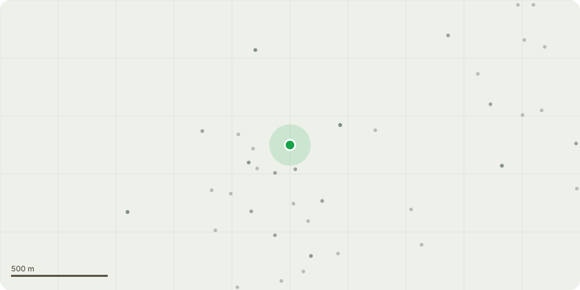
Approximate location
Proposal
T1 - Horse Chestnut. First western lever armed bow, bifurcated at 6m with 2no. co-dominant branches. To reduce the top canopy end weight by reducing in height by up to 5m, reduce the overextended lateral branch by 5m with the remaining western side canopy by no more than 3m. Stem diameter cuts to be no greater than 60mm from the top and 45mm from the side with diagram attached. Works to be carried out in accordance with BS3998(2010), nearest best practice pruning points.T3 ? Horse Chestnut that has been in decline for several years and showing no sign of improvement. Having been reduced in the past to encourage re-active growth it is now in acute decline with the canopy dying back by 40%. The tree being sited over highway and private gardens. On grounds of health and safety request to Fell.
Key dates
- Received 5 May 2026
- Validated 6 May 2026
- Started 6 May 2026
- Decided 19 Jun 2026
Planning history / related applications
No related planning applications have been identified in the current public OGL dataset.
Inside plotEdge
Go beyond the public record
This page is the public OGL record. plotEdge adds the private intelligence layer for this site - open it in the app to unlock:
- Ownership & title Registered owner and title from HM Land Registry.
- Viability & build potential Site scoring and development upside.
- Constraints Flood risk, green belt, conservation areas and designations.
- Approval signal Planning risk and approval-likelihood analysis.
- Comparable applications Decisions on similar nearby sites, side by side.
- Status alerts Get notified the moment this application changes.
Source: public planning application data from Winchester, reused under the Open Government Licence v3.0. View the council source record. Council documents and drawings are not republished on plotEdge.