Winchester
Winchester/26/00682/LIS
3 The Square Winchester Hampshire SO23 9ES
- Reference
- Winchester/26/00682/LIS
- Authority
- Winchester
- Application type
- LIS
- Address
- 3 The Square Winchester Hampshire SO23 9ES
- Postcode
- SO23 9ES
- Status
- Current
- Received
- 30 Mar 2026
- Validated
- 20 Apr 2026
- Started
- 20 Apr 2026
- Source council
- Winchester
- Council source record
- View public record
- Public data licence
- Open Government Licence v3.0
- Record updated
- 18 Jul 2026
- SEO index generated
- 24 Jul 2026
Location
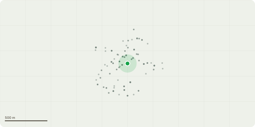
Approximate location
Proposal
Ground floor alterations: basement door update, replace the internal doors with like-for-like replacements, level flooring and lay laminate or hardwood, restore staircase rail, fix staircase floorboards and install carpet runner, repaint and restore walls and panelling, replace modern lighting ornaments, address the rot/damp wood in ground floor cupboard room, replace the locks on the doors, install a doorbell with camera, replace the business name brass plaque, install metal stand from the wall, remove radiators, install air-conditioning with condensors on the roof. First floor alterations: levelling and fitment of antistatic lino flooring, batten and plasterboard over existing panelled walls, fit a suspended ceiling, replace entrance door, fit shutters to windows in rooms left and right of stairs. Remove a section of panelled wall in room left of stairs only. Replace shelving in the cupboard space in the roof right of stairs only.
Key dates
- Received 30 Mar 2026
- Validated 20 Apr 2026
- Started 20 Apr 2026
Planning history / related applications
No related planning applications have been identified in the current public OGL dataset.
Inside plotEdge
Go beyond the public record
This page is the public OGL record. plotEdge adds the private intelligence layer for this site - open it in the app to unlock:
- Ownership & title Registered owner and title from HM Land Registry.
- Viability & build potential Site scoring and development upside.
- Constraints Flood risk, green belt, conservation areas and designations.
- Approval signal Planning risk and approval-likelihood analysis.
- Comparable applications Decisions on similar nearby sites, side by side.
- Status alerts Get notified the moment this application changes.
Source: public planning application data from Winchester, reused under the Open Government Licence v3.0. View the council source record. Council documents and drawings are not republished on plotEdge.