Winchester
Winchester/26/00353/TPO
Tall Trees Peach Hill Lane Crawley Winchester Hampshire SO21 2PZ
- Reference
- Winchester/26/00353/TPO
- Authority
- Winchester
- Application type
- Tree preservation order
- Address
- Tall Trees Peach Hill Lane Crawley Winchester Hampshire SO21 2PZ
- Postcode
- SO21 2PZ
- Status
- Decided
- Decision
- Application Permitted
- Received
- 20 Feb 2026
- Validated
- 23 Feb 2026
- Started
- 23 Feb 2026
- Decided
- 20 Apr 2026
- Source council
- Winchester
- Council source record
- View public record
- Public data licence
- Open Government Licence v3.0
- Record updated
- 18 Jul 2026
- SEO index generated
- 24 Jul 2026
Location
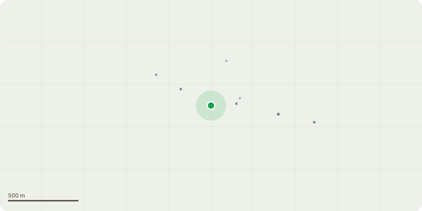
Approximate location
Proposal
Remove all ash, sycamore and western red cedar located at edge of woodland in area between parallel fences along W boundary of Tall trees renewal of consent 18/02018/TPOReason - original tree works not completed by previous owner. Trees of limited amenity value and or poor, part failed or invasive to native woodland. compromising growth of better quality early mature trees in garden.T1 beech (offsite) reduce crown on N, W and S sides by 3m, max 50-75,m, prune wound diameter, retaining a crown spread of 6N, E10 S7 and W 7. Repeat of previous crown pruning consented by 20/1663/TPO.Reason: to reduce overhang to road and parking area.T2 beech Reduce lowest branch on E side to point of first primary lateral. Reason hazard beam formation with lateral split and exposed heartwood on upper side of branch. Risk of failure to garage.T3 beech remove smaller stem to W side of group of 4 stems.Reason supressed. To allow growth of better trees within group.T4 sycamore (offsite to E) Remove lowest 2 limbs on W stem (see photos).Reason: to improve prospects for row of early mature trees in garden.
Key dates
- Received 20 Feb 2026
- Validated 23 Feb 2026
- Started 23 Feb 2026
- Decided 20 Apr 2026
Planning history / related applications
No related planning applications have been identified in the current public OGL dataset.
Inside plotEdge
Go beyond the public record
This page is the public OGL record. plotEdge adds the private intelligence layer for this site - open it in the app to unlock:
- Ownership & title Registered owner and title from HM Land Registry.
- Viability & build potential Site scoring and development upside.
- Constraints Flood risk, green belt, conservation areas and designations.
- Approval signal Planning risk and approval-likelihood analysis.
- Comparable applications Decisions on similar nearby sites, side by side.
- Status alerts Get notified the moment this application changes.
Source: public planning application data from Winchester, reused under the Open Government Licence v3.0. View the council source record. Council documents and drawings are not republished on plotEdge.