Winchester
Winchester/26/00076/TPO
5 Campion Way Kings Worthy Winchester Hampshire SO23 7QP
- Reference
- Winchester/26/00076/TPO
- Authority
- Winchester
- Application type
- Tree preservation order
- Address
- 5 Campion Way Kings Worthy Winchester Hampshire SO23 7QP
- Postcode
- SO23 7QP
- Status
- Decided
- Decision
- Application Permitted
- Received
- 16 Jan 2026
- Validated
- 16 Jan 2026
- Started
- 16 Jan 2026
- Decided
- 8 Apr 2026
- Source council
- Winchester
- Council source record
- View public record
- Public data licence
- Open Government Licence v3.0
- Record updated
- 18 Jul 2026
- SEO index generated
- 24 Jul 2026
Location
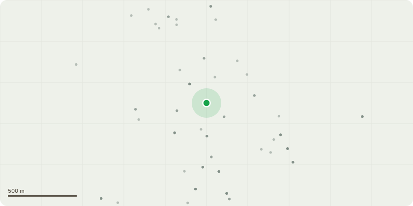
Approximate location
Proposal
T1 - Beech. Eastern elevation to 5.5m Highway crown lift, reduce the overextended laterals to by 2m leave at 6m, line clear the utility wire stem diameter cuts no greater than 35mm. Crown lift canopy skirt 5m from ground level. Sever Ivy.T2 - Beech. Eastern elevation to 5.5m Highway crown lift, reduce the overextended laterals to by 1.5m leave at 5m western elevation 2m reduced allowing a 3m building clearance with cuts no greater than 40mm.T3 - Beech. Crown lift lower canopy skirt secondary and tertiary branch foliage 3.5m from ground level, apart from the branch resting on the shed roof that has lever armed, this to take back to first fork from the main stem. Reduce the canopy from the eastern tri-codominant stem by 2m back into the fork as shown in the attached photograph.Works to be carried out in accordance with BS3998(2010), nearest best practice pruning points.
Key dates
- Received 16 Jan 2026
- Validated 16 Jan 2026
- Started 16 Jan 2026
- Decided 8 Apr 2026
Planning history / related applications
No related planning applications have been identified in the current public OGL dataset.
Inside plotEdge
Go beyond the public record
This page is the public OGL record. plotEdge adds the private intelligence layer for this site - open it in the app to unlock:
- Ownership & title Registered owner and title from HM Land Registry.
- Viability & build potential Site scoring and development upside.
- Constraints Flood risk, green belt, conservation areas and designations.
- Approval signal Planning risk and approval-likelihood analysis.
- Comparable applications Decisions on similar nearby sites, side by side.
- Status alerts Get notified the moment this application changes.
Source: public planning application data from Winchester, reused under the Open Government Licence v3.0. View the council source record. Council documents and drawings are not republished on plotEdge.