Winchester
Winchester/26/00030/TPO
The Pavilion Yellow Dot Nursery Otterbourne Hill Otterbourne Winchester Hampshire SO21 2HJ
- Reference
- Winchester/26/00030/TPO
- Authority
- Winchester
- Application type
- Tree preservation order
- Address
- The Pavilion Yellow Dot Nursery Otterbourne Hill Otterbourne Winchester Hampshire SO21 2HJ
- Postcode
- SO21 2HJ
- Status
- Decided
- Decision
- Application Permitted
- Received
- 9 Jan 2026
- Validated
- 9 Jan 2026
- Started
- 9 Jan 2026
- Decided
- 23 Feb 2026
- Source council
- Winchester
- Council source record
- View public record
- Public data licence
- Open Government Licence v3.0
- Record updated
- 18 Jul 2026
- SEO index generated
- 24 Jul 2026
Location
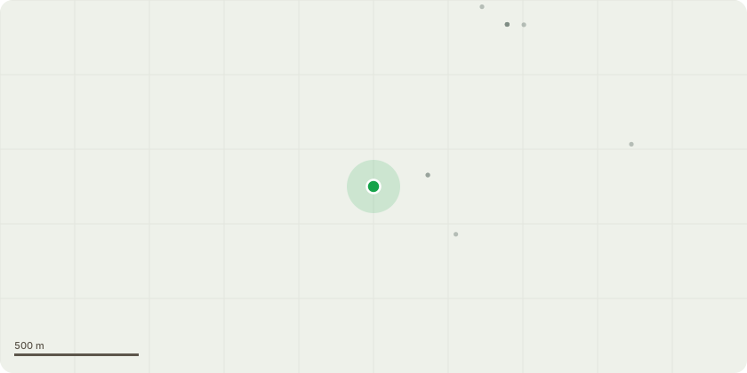
Approximate location
Proposal
Group 1 - Mixed species - Prune to Clear structure/wires/buildings by 1m - Prune clear of building by 1m to prevent damage occurring to third party and client propertiesT4 - Bay laurel - Crown Lift to Specified Amount - Crown lift over play areas to 2.3mT11 - Common ash - Clean Out Crown - Remove all dead and dysfunctional woodT16 - Cotoneaster species - Prune to Clear structure/wires/buildings by 2m - Prune away from adjacent building to achieve required clearanceT16 - Cotoneaster species - Crown Lift Over Car Park/ Footpath to 2.5mT20 - Paper bark birch - Crown Lift to Specified Amount - Crown lift over internal roadways to 2.5m. Prune back to kerbside edge
Key dates
- Received 9 Jan 2026
- Validated 9 Jan 2026
- Started 9 Jan 2026
- Decided 23 Feb 2026
Planning history / related applications
No related planning applications have been identified in the current public OGL dataset.
Inside plotEdge
Go beyond the public record
This page is the public OGL record. plotEdge adds the private intelligence layer for this site - open it in the app to unlock:
- Ownership & title Registered owner and title from HM Land Registry.
- Viability & build potential Site scoring and development upside.
- Constraints Flood risk, green belt, conservation areas and designations.
- Approval signal Planning risk and approval-likelihood analysis.
- Comparable applications Decisions on similar nearby sites, side by side.
- Status alerts Get notified the moment this application changes.
Source: public planning application data from Winchester, reused under the Open Government Licence v3.0. View the council source record. Council documents and drawings are not republished on plotEdge.