Winchester
Winchester/25/02569/TPO
Downside West 26 Quarry Road Winchester Hampshire SO23 0JG
- Reference
- Winchester/25/02569/TPO
- Authority
- Winchester
- Application type
- Tree preservation order
- Address
- Downside West 26 Quarry Road Winchester Hampshire SO23 0JG
- Postcode
- SO23 0JG
- Status
- Decided
- Decision
- Application Permitted
- Received
- 17 Dec 2025
- Validated
- 17 Dec 2025
- Started
- 17 Dec 2025
- Decided
- 16 Apr 2026
- Source council
- Winchester
- Council source record
- View public record
- Public data licence
- Open Government Licence v3.0
- Record updated
- 18 Jul 2026
- SEO index generated
- 24 Jul 2026
Location
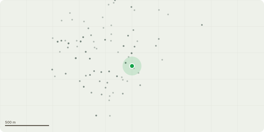
Approximate location
Proposal
My client lives in a blanket TPO area, he has a selection of trees on the front bank of his property that are next to the road and footpath. There is one large Oak and a few medium Ash and Maple trees. The roadside sides of the trees are overhanging the road low enough for lorries to clip them and on the other side they are growing towards the house and into overhead phone wires. Applying to raise the height on the roadside branches on all trees to 4m and cut back anything higher by 1.5m, 1.5m reduction away from the house side on all the trees, then a 1.5m reduction on the height on the Maples and Ash. Any deadwood to be removed at the same time. There is a large Maple tree on the right of the clump at the front being applied that isn't my clients so won't be being touched. That will be shown on the site plan marked at NT for neighbour tree, clump of maple/ash labelled T1, Oak labelled T2 and Japanese Cedar labelled T3In the back garden, there is a Japanese Cedar tree growing at 45 degree angle and is very top heavy, so applying to reduce the height on that by 2.5m to reduce the chance of future failure. All work carried out to BS3998
Key dates
- Received 17 Dec 2025
- Validated 17 Dec 2025
- Started 17 Dec 2025
- Decided 16 Apr 2026
Planning history / related applications
No related planning applications have been identified in the current public OGL dataset.
Inside plotEdge
Go beyond the public record
This page is the public OGL record. plotEdge adds the private intelligence layer for this site - open it in the app to unlock:
- Ownership & title Registered owner and title from HM Land Registry.
- Viability & build potential Site scoring and development upside.
- Constraints Flood risk, green belt, conservation areas and designations.
- Approval signal Planning risk and approval-likelihood analysis.
- Comparable applications Decisions on similar nearby sites, side by side.
- Status alerts Get notified the moment this application changes.
Source: public planning application data from Winchester, reused under the Open Government Licence v3.0. View the council source record. Council documents and drawings are not republished on plotEdge.