Winchester
Winchester/25/02356/TPC
Northbrook Hall Duke Street Micheldever Winchester Hampshire SO21 3DF
- Reference
- Winchester/25/02356/TPC
- Authority
- Winchester
- Application type
- TPC
- Address
- Northbrook Hall Duke Street Micheldever Winchester Hampshire SO21 3DF
- Postcode
- SO21 3DF
- Status
- Decided
- Decision
- That no objection be raised
- Received
- 20 Nov 2025
- Validated
- 20 Nov 2025
- Started
- 20 Nov 2025
- Decided
- 23 Feb 2026
- Source council
- Winchester
- Council source record
- View public record
- Public data licence
- Open Government Licence v3.0
- Record updated
- 18 Jul 2026
- SEO index generated
- 24 Jul 2026
Location
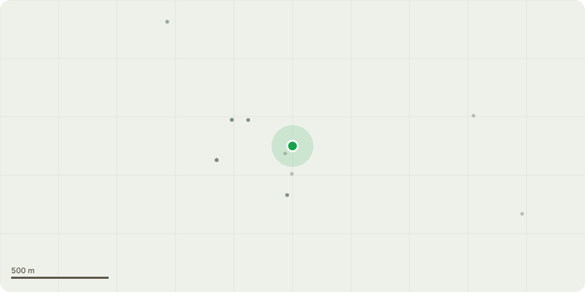
Approximate location
Proposal
We have recently been granted Planning Permission to install solar panels on the south facing roof of Northbrook Hall, which stands in the conservation area of Micheldever.In order to gain the full benefits of the system we wish to prune back the crab apple tree which sits to the south of the building.I attach a photo of the tree in front of the building.The tree was one of a pair of trees that were planted, presumably for decorative purposes, on the strip of land between the Hall and Duke Street. The second tree, a cherry ( to the left of the crab apple in the picture) suffered a substantial break a few years ago and has so far failed to regenerate. I understand that it is now unlikely to do so.Pillar Apple - Reduce crown of Apple to previous reduction points. (Amended)It should be noted that this part of Duke Street has a large number of very tall mature hard wood trees which of course would not be affected at all.We would suggest that the environmental benefits of a more efficient solar panel installation would outweigh the very minor change to the tree population of the immediate area.
Key dates
- Received 20 Nov 2025
- Validated 20 Nov 2025
- Started 20 Nov 2025
- Decided 23 Feb 2026
Planning history / related applications
No related planning applications have been identified in the current public OGL dataset.
Inside plotEdge
Go beyond the public record
This page is the public OGL record. plotEdge adds the private intelligence layer for this site - open it in the app to unlock:
- Ownership & title Registered owner and title from HM Land Registry.
- Viability & build potential Site scoring and development upside.
- Constraints Flood risk, green belt, conservation areas and designations.
- Approval signal Planning risk and approval-likelihood analysis.
- Comparable applications Decisions on similar nearby sites, side by side.
- Status alerts Get notified the moment this application changes.
Source: public planning application data from Winchester, reused under the Open Government Licence v3.0. View the council source record. Council documents and drawings are not republished on plotEdge.