Winchester
Winchester/25/02350/TPC
Wharf Farm Dairy Wharf Hill Winchester Hampshire SO23 9NQ
- Reference
- Winchester/25/02350/TPC
- Authority
- Winchester
- Application type
- TPC
- Address
- Wharf Farm Dairy Wharf Hill Winchester Hampshire SO23 9NQ
- Postcode
- SO23 9NQ
- Status
- Decided
- Decision
- That no objection be raised
- Received
- 19 Nov 2025
- Validated
- 19 Nov 2025
- Started
- 19 Nov 2025
- Decided
- 5 Feb 2026
- Source council
- Winchester
- Council source record
- View public record
- Public data licence
- Open Government Licence v3.0
- Record updated
- 18 Jul 2026
- SEO index generated
- 24 Jul 2026
Location
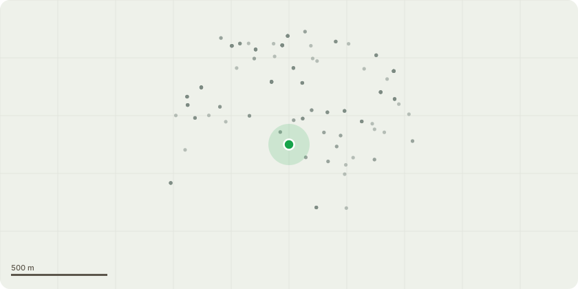
Approximate location
Proposal
Intended Works: Removal of 3x Sycamore Trees (Acer Psuedoplatanus) from garden of Wharf Farm Dairy (pictures attached). The three sycamore trees are between 8 & 10 metres from the outer wall of the house and lie between 1 & 2 metres of the foundations of the Grade 2 Listed Blackbridge over the River Itchen. The Sycamores are an estimated 12 meters in height and lower branches reach to within 2m of the building. Reasons for removal: Allow light into the garden. Growth under the heavy sycamore canopy is restricted & grass will not grow. Prevent future root damage to both house and bridge Reduce leaf & seed fall which is causing guttering blockages and damage to the property. Mitigating Planting: A Weeping Willow (Salix Babylonica) will be planted adjacent to the site of the furthest sycamore to maintain the aesthetic aspect of the property when viewed from Blackbridge & College Walk.
Key dates
- Received 19 Nov 2025
- Validated 19 Nov 2025
- Started 19 Nov 2025
- Decided 5 Feb 2026
Planning history / related applications
No related planning applications have been identified in the current public OGL dataset.
Inside plotEdge
Go beyond the public record
This page is the public OGL record. plotEdge adds the private intelligence layer for this site - open it in the app to unlock:
- Ownership & title Registered owner and title from HM Land Registry.
- Viability & build potential Site scoring and development upside.
- Constraints Flood risk, green belt, conservation areas and designations.
- Approval signal Planning risk and approval-likelihood analysis.
- Comparable applications Decisions on similar nearby sites, side by side.
- Status alerts Get notified the moment this application changes.
Source: public planning application data from Winchester, reused under the Open Government Licence v3.0. View the council source record. Council documents and drawings are not republished on plotEdge.