Winchester
Winchester/25/02335/TPC
Sutton Manor Nursing Home Stockbridge Road Sutton Scotney Winchester Hampshire SO21 3JX
- Reference
- Winchester/25/02335/TPC
- Authority
- Winchester
- Application type
- TPC
- Address
- Sutton Manor Nursing Home Stockbridge Road Sutton Scotney Winchester Hampshire SO21 3JX
- Postcode
- SO21 3JX
- Status
- Decided
- Decision
- That no objection be raised
- Received
- 18 Nov 2025
- Validated
- 18 Nov 2025
- Started
- 18 Nov 2025
- Decided
- 25 Feb 2026
- Source council
- Winchester
- Council source record
- View public record
- Public data licence
- Open Government Licence v3.0
- Record updated
- 18 Jul 2026
- SEO index generated
- 24 Jul 2026
Location
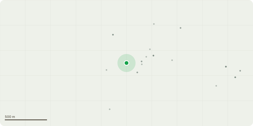
Approximate location
Proposal
Tree 1 - Dawn redwood. Remove Tree. Subject tree is nearest to the telecom access cover. Tree has bark necrosis at base covering about 40% of the diameter and is within falling distance of high occupancy areasTree 2 - False Acacia. Remove Tree. Main stem is decayed in several places and tree is biased towards access roadTree 3 - Horse Chestnut. Remove poorly attached deadwood. Historic lightning strike on the stem with some visible decay. Notable dieback in the upper crown.Tree 5 - Lime. Reduce height from 18 m to no less than 15m. Reduce spread to no less than 5m to shape. Foliage is somewhat sparse compared to neighbouring trees. There are a number of points of bark loss at the main crown break indicating internal decay and dysfunctionTree 6 - Norway Maple. Remove tree. Heavily defoliated and within falling distance of highwayTree 7 - Group of Norway Maples. Sever ivy at base on all trees. Linear group off-road side trees. Ivy becoming established on most stemsTree 8 - Elm. Remove tree. Standing deadTree 9 - Poplar. Remove tree. Almost completely defoliated. Poor location over dwellingsTree 16 - Sycamore. Sever ivy at base. Densely Ivy clad tree within falling distance of highway.Tree 20 - Common Ash. Remove tree. Ivy clad. Two stems. Leaning over highway. Significant defoliation consistent with ash dieback
Key dates
- Received 18 Nov 2025
- Validated 18 Nov 2025
- Started 18 Nov 2025
- Decided 25 Feb 2026
Planning history / related applications
No related planning applications have been identified in the current public OGL dataset.
Inside plotEdge
Go beyond the public record
This page is the public OGL record. plotEdge adds the private intelligence layer for this site - open it in the app to unlock:
- Ownership & title Registered owner and title from HM Land Registry.
- Viability & build potential Site scoring and development upside.
- Constraints Flood risk, green belt, conservation areas and designations.
- Approval signal Planning risk and approval-likelihood analysis.
- Comparable applications Decisions on similar nearby sites, side by side.
- Status alerts Get notified the moment this application changes.
Source: public planning application data from Winchester, reused under the Open Government Licence v3.0. View the council source record. Council documents and drawings are not republished on plotEdge.