Winchester
Winchester/25/02240/LDP
Ludwell Farm Lower Chase Road Waltham Chase Southampton Hampshire SO32 2LH
- Reference
- Winchester/25/02240/LDP
- Authority
- Winchester
- Application type
- LDP
- Address
- Ludwell Farm Lower Chase Road Waltham Chase Southampton Hampshire SO32 2LH
- Postcode
- SO32 2LH
- Status
- Decided
- Decision
- Lawful Development Certificate - Refuse
- Received
- 3 Nov 2025
- Validated
- 3 Nov 2025
- Started
- 3 Nov 2025
- Decided
- 12 Mar 2026
- Source council
- Winchester
- Council source record
- View public record
- Public data licence
- Open Government Licence v3.0
- Record updated
- 18 Jul 2026
- SEO index generated
- 24 Jul 2026
Location
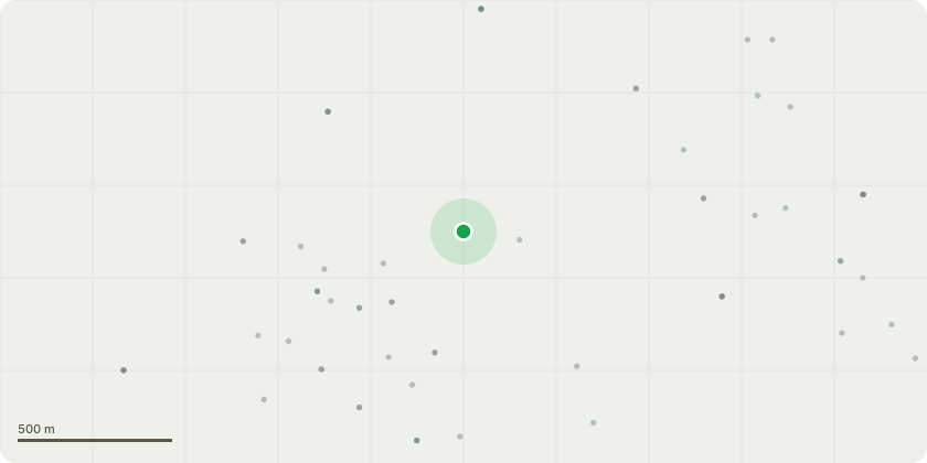
Approximate location
Proposal
The reinstallation of a previously removed 2nd Road Access and Track from 1986, providing vehicle access to the northern end of the site, located 5m away from the adjacent Eastern Site Boundary. The reinstalled 2nd Road Access and Track to be provided with Vehicle Entrance area at 4.8x4.8m, a track at 3.6m wide for its length and and Entrance Visibility Splays measuring 43m in either direction, commencing at 2.0m back from the road verge. The reinstated 2nd Road Access and Track is to be finished with permeable gravel. Please refer to Drawings:P01 Location Plan A3 1:2500P02 Site Block Plan A3 1:2500 P03 Existing Site Plan Plan A3 1:1250P04 Proposed Site Plan A3 1:1250 & P05 Site Entrance Visibility Splay Sight Lines A3 1:250. Note: (1) The reinstalled Access Track is located directly above the Existing 20" Surface Water Sewer, which serves the majority of new build houses in Waltham Chase.(2) The reinstalled Access Tracks location retains a 5m deep mature shrub lined Eastern Boundary.(3) The reinstated Access Track will facilitate access to the Northern end of the site for maintenance purposes.
Key dates
- Received 3 Nov 2025
- Validated 3 Nov 2025
- Started 3 Nov 2025
- Decided 12 Mar 2026
Planning history / related applications
No related planning applications have been identified in the current public OGL dataset.
Inside plotEdge
Go beyond the public record
This page is the public OGL record. plotEdge adds the private intelligence layer for this site - open it in the app to unlock:
- Ownership & title Registered owner and title from HM Land Registry.
- Viability & build potential Site scoring and development upside.
- Constraints Flood risk, green belt, conservation areas and designations.
- Approval signal Planning risk and approval-likelihood analysis.
- Comparable applications Decisions on similar nearby sites, side by side.
- Status alerts Get notified the moment this application changes.
Source: public planning application data from Winchester, reused under the Open Government Licence v3.0. View the council source record. Council documents and drawings are not republished on plotEdge.