Winchester
Winchester/25/02097/TPC
45 St Cross Road Winchester Hampshire SO23 9PS
- Reference
- Winchester/25/02097/TPC
- Authority
- Winchester
- Application type
- TPC
- Address
- 45 St Cross Road Winchester Hampshire SO23 9PS
- Postcode
- SO23 9PS
- Status
- Decided
- Decision
- That no objection be raised
- Received
- 13 Oct 2025
- Validated
- 13 Oct 2025
- Started
- 13 Oct 2025
- Decided
- 6 Nov 2025
- Source council
- Winchester
- Council source record
- View public record
- Public data licence
- Open Government Licence v3.0
- Record updated
- 18 Jul 2026
- SEO index generated
- 24 Jul 2026
Location
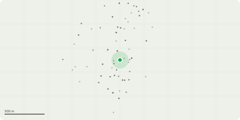
Approximate location
Proposal
We are in the process of clearing-out and replanting our front property hedge bordering on St Cross Rd.On clearing dying hedging for replacement we have discovered that a self-set blossom tree, as well having roots which lifted the paving slabs (now remedied by Highways), is growing at a very precarious angle over the pavement and ultimately the road. The top of the existing trunk is only approx. 1.5 over the pavement.Would there be any problem if I remove this tree as indicated in the attached picture?Note that there another similar blossom tree within ~1.5m which does not have this issue and would be retained Picture 2). We also have a Junglans we have planted behind (visible in the first picture) which would then gain light and space for future growth.
Key dates
- Received 13 Oct 2025
- Validated 13 Oct 2025
- Started 13 Oct 2025
- Decided 6 Nov 2025
Planning history / related applications
No related planning applications have been identified in the current public OGL dataset.
Inside plotEdge
Go beyond the public record
This page is the public OGL record. plotEdge adds the private intelligence layer for this site - open it in the app to unlock:
- Ownership & title Registered owner and title from HM Land Registry.
- Viability & build potential Site scoring and development upside.
- Constraints Flood risk, green belt, conservation areas and designations.
- Approval signal Planning risk and approval-likelihood analysis.
- Comparable applications Decisions on similar nearby sites, side by side.
- Status alerts Get notified the moment this application changes.
Source: public planning application data from Winchester, reused under the Open Government Licence v3.0. View the council source record. Council documents and drawings are not republished on plotEdge.