Winchester
Winchester/25/02079/HOU
18 Dale Close Littleton Winchester Hampshire SO22 6RA
- Reference
- Winchester/25/02079/HOU
- Authority
- Winchester
- Application type
- HOU
- Address
- 18 Dale Close Littleton Winchester Hampshire SO22 6RA
- Postcode
- SO22 6RA
- Status
- Decided
- Decision
- Application Permitted
- Received
- 13 Oct 2025
- Validated
- 15 Oct 2025
- Started
- 15 Oct 2025
- Decided
- 4 Dec 2025
- Source council
- Winchester
- Council source record
- View public record
- Public data licence
- Open Government Licence v3.0
- Record updated
- 18 Jul 2026
- SEO index generated
- 24 Jul 2026
Location
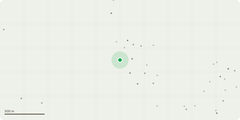
Approximate location
Proposal
The existing fence is falling apart and several posts have failed. I propose complete replacement with the following fence panels:https://www.jacksons-fencing.co.uk/fencing/fencing-panels/tongue-and-groove-effect-convexand these trellis toppers:https://www.jacksons-fencing.co.uk/product/sc_745300/300mm-high-x-1.83m-wide-concave-or-convex-curved-framed-trellis-topperon concrete slotted posts and 300mm smooth concrete gravel boards.The proposed fence measures 243cm from the bottom of the panel to the highest point of the trellis topper. The existing fence is 230cm, so like-for-like this would be a 13cm increase. However, there are small gaps under the existing fence panels - I have measured up to 239cm from the ground on the site?s side (there is an upward gradient towards Hilden Way). With the proposed concrete gravel boards, these gaps can be smaller or eliminated entirely.
Key dates
- Received 13 Oct 2025
- Validated 15 Oct 2025
- Started 15 Oct 2025
- Decided 4 Dec 2025
Planning history / related applications
No related planning applications have been identified in the current public OGL dataset.
Inside plotEdge
Go beyond the public record
This page is the public OGL record. plotEdge adds the private intelligence layer for this site - open it in the app to unlock:
- Ownership & title Registered owner and title from HM Land Registry.
- Viability & build potential Site scoring and development upside.
- Constraints Flood risk, green belt, conservation areas and designations.
- Approval signal Planning risk and approval-likelihood analysis.
- Comparable applications Decisions on similar nearby sites, side by side.
- Status alerts Get notified the moment this application changes.
Source: public planning application data from Winchester, reused under the Open Government Licence v3.0. View the council source record. Council documents and drawings are not republished on plotEdge.