Winchester
Winchester/25/01937/TPO
112 Downs Road South Wonston Winchester Hampshire SO21 3EW
- Reference
- Winchester/25/01937/TPO
- Authority
- Winchester
- Application type
- Tree preservation order
- Address
- 112 Downs Road South Wonston Winchester Hampshire SO21 3EW
- Postcode
- SO21 3EW
- Status
- Decided
- Decision
- Application Permitted
- Received
- 22 Sept 2025
- Validated
- 23 Sept 2025
- Started
- 23 Sept 2025
- Decided
- 17 Nov 2025
- Source council
- Winchester
- Council source record
- View public record
- Public data licence
- Open Government Licence v3.0
- Record updated
- 18 Jul 2026
- SEO index generated
- 24 Jul 2026
Location
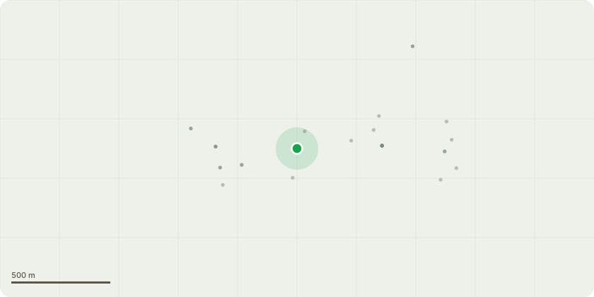
Approximate location
Proposal
T1 Horse Chestnut sp. Fell.Description.Western main branch failure, bifurcated at 1m with included union forming elephant ears with exudate seeping from this union. Bifurcated limb to the west has failed at 8m with tear out wound landing over the public footpath and road. Branch debris shown stacked at the base of tree. Dryads saddle present within upper canopy. Cavities throughout canopy which have not been investigated. Remaining tree is now susceptible to wind throw due to harmonic sway. High risk zone with the public footpath leading to the Junior School, main road and several utility cables within the canopy.Having previously approached WCC September 2023 raising concerns and pre-application suggestion of Felling. Informed this would be refuse and would only allow small pruning works.Recommended works Advise removal to ground level for reasons of sound arboriculture management and reason stated above.
Key dates
- Received 22 Sept 2025
- Validated 23 Sept 2025
- Started 23 Sept 2025
- Decided 17 Nov 2025
Planning history / related applications
No related planning applications have been identified in the current public OGL dataset.
Inside plotEdge
Go beyond the public record
This page is the public OGL record. plotEdge adds the private intelligence layer for this site - open it in the app to unlock:
- Ownership & title Registered owner and title from HM Land Registry.
- Viability & build potential Site scoring and development upside.
- Constraints Flood risk, green belt, conservation areas and designations.
- Approval signal Planning risk and approval-likelihood analysis.
- Comparable applications Decisions on similar nearby sites, side by side.
- Status alerts Get notified the moment this application changes.
Source: public planning application data from Winchester, reused under the Open Government Licence v3.0. View the council source record. Council documents and drawings are not republished on plotEdge.