Winchester
Winchester/25/01408/DIC
Chalk Hill New Farm Road Alresford Hampshire SO24 9QH
- Reference
- Winchester/25/01408/DIC
- Authority
- Winchester
- Application type
- DIC
- Address
- Chalk Hill New Farm Road Alresford Hampshire SO24 9QH
- Postcode
- SO24 9QH
- Status
- Decided
- Decision
- Application Permitted
- Received
- 10 Jul 2025
- Validated
- 10 Jul 2025
- Started
- 10 Jul 2025
- Decided
- 11 Aug 2025
- Source council
- Winchester
- Council source record
- View public record
- Public data licence
- Open Government Licence v3.0
- Record updated
- 18 Jul 2026
- SEO index generated
- 24 Jul 2026
Location
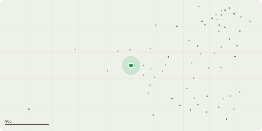
Approximate location
Proposal
Discharge of Condition 4 (lighting plan of the site) of 25/00035/HOU. There are three varieties of wall lights installed, all fitted with PIR (passive infrared) sensors for automatic operation. Some fixtures are connected to an internal override switch, allowing manual control when required. These lights are intended for use only when necessary, ensuring energy efficiency and convenience.All lights are low level voltage and LED.To include:GU10 LED 5W 400lm Glass Lamp35? 2700K Warm WhiteES LED Clear 806lm 240V DimmableLight Bulb7.5W 2700K Warm WhiteLEDGLS ES CLEARPIR Sensors:- All the PIR sensors are manufactured by Steinel and arediscreetly placed where required to allow safe movement aroundthe property. The PIR sensor settings vary slightly depending onlocation, however none exceed 1 minute - refer to drawing forfurther details. Having contacted Steinel, they have confirmed thesensors are designed to activate upon motion of large objects andshould not be falsely triggered by smaller wildlife.
Key dates
- Received 10 Jul 2025
- Validated 10 Jul 2025
- Started 10 Jul 2025
- Decided 11 Aug 2025
Planning history / related applications
No related planning applications have been identified in the current public OGL dataset.
Inside plotEdge
Go beyond the public record
This page is the public OGL record. plotEdge adds the private intelligence layer for this site - open it in the app to unlock:
- Ownership & title Registered owner and title from HM Land Registry.
- Viability & build potential Site scoring and development upside.
- Constraints Flood risk, green belt, conservation areas and designations.
- Approval signal Planning risk and approval-likelihood analysis.
- Comparable applications Decisions on similar nearby sites, side by side.
- Status alerts Get notified the moment this application changes.
Source: public planning application data from Winchester, reused under the Open Government Licence v3.0. View the council source record. Council documents and drawings are not republished on plotEdge.