Winchester
Winchester/25/01237/LDP
Unit D Bar End Industrial Estate Bar End Road Winchester Hampshire SO23 9NP
- Reference
- Winchester/25/01237/LDP
- Authority
- Winchester
- Application type
- LDP
- Address
- Unit D Bar End Industrial Estate Bar End Road Winchester Hampshire SO23 9NP
- Postcode
- SO23 9NP
- Status
- Decided
- Decision
- Lawful Development Certificate - Refuse
- Received
- 18 Jun 2025
- Validated
- 18 Jun 2025
- Started
- 18 Jun 2025
- Decided
- 29 Sept 2025
- Source council
- Winchester
- Council source record
- View public record
- Public data licence
- Open Government Licence v3.0
- Record updated
- 18 Jul 2026
- SEO index generated
- 24 Jul 2026
Location
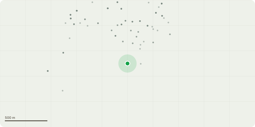
Approximate location
Proposal
Portal frame roof.Proposal over cladding of the existing main roof to the industrial unit, currently covered in corrugated cement fibre roof sheet (contains asbestos). To be over clad with with a profiled metal roof sheeting colour Goosewing grey or similar to match the existing roof colour.Remove fibre cement fascias, trims, gutters and downpipes, replace with new profiled powder coated metal to match existing shape and size. Colour Goosewing grey or similar.Flat roofs.Proposal to remove the existing bitumen felt flat roof and rotten decking, and saturated insulation. Replace with new timber decking (plywood or OSB3) where required. Add a warm flat roof construction (with vapour control layer, 120mm PIR insulation, and bitumen built up felt roof covering in black/anthracite to match existing. New felt and lead flashed upstands adjacent walls. Existing fibre cement and PVCu gutters, fascias, soffits, and downpipes removed and replaced with new UPVc throughout. Colour: White fascia, soffits. Rainwater goods black.
Key dates
- Received 18 Jun 2025
- Validated 18 Jun 2025
- Started 18 Jun 2025
- Decided 29 Sept 2025
Planning history / related applications
No related planning applications have been identified in the current public OGL dataset.
Inside plotEdge
Go beyond the public record
This page is the public OGL record. plotEdge adds the private intelligence layer for this site - open it in the app to unlock:
- Ownership & title Registered owner and title from HM Land Registry.
- Viability & build potential Site scoring and development upside.
- Constraints Flood risk, green belt, conservation areas and designations.
- Approval signal Planning risk and approval-likelihood analysis.
- Comparable applications Decisions on similar nearby sites, side by side.
- Status alerts Get notified the moment this application changes.
Source: public planning application data from Winchester, reused under the Open Government Licence v3.0. View the council source record. Council documents and drawings are not republished on plotEdge.