Winchester
Winchester/25/00752/TPC
102 St Cross Road Winchester Hampshire SO23 9RE
- Reference
- Winchester/25/00752/TPC
- Authority
- Winchester
- Application type
- TPC
- Address
- 102 St Cross Road Winchester Hampshire SO23 9RE
- Postcode
- SO23 9RE
- Status
- Decided
- Decision
- That no objection be raised
- Received
- 8 Apr 2025
- Validated
- 8 Apr 2025
- Started
- 8 Apr 2025
- Decided
- 29 Apr 2025
- Source council
- Winchester
- Council source record
- View public record
- Public data licence
- Open Government Licence v3.0
- Record updated
- 18 Jul 2026
- SEO index generated
- 24 Jul 2026
Location
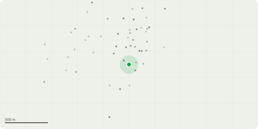
Approximate location
Proposal
We live at 102 St. Cross Road, Winchester SO23 9RE which is in a conservation area. We have a diseased prunus tree in our front garden, very close to the pavement, which has been assessed by Merritt Tree Specialists Ltd. as having a small fungal bracket at its base, which is an indication of internal decay. Apart from potentially representing a threat to pedestrians and traffic if it should be blown down in a storm, its roots have also damaged a retaining wall which runs alongside the pathway from the pavement to our front door. We are currently having building works done at our house and need to replace the wall and improve the pathway. As a result, we would like to apply for permission to cut down the tree. We would be happy to replace it with another tree elsewhere on our property. We are attaching two photos, one showing the damage to the wall and the other a view of the tree from the road. There are in fact two trees visible which are very close together. Our diseased tree is on the left and has bare branches in this picture, while a tree growing on our neighbours property (100 St. Cross Road) is on the right, and has leaves. The proposal is to cut down our tree, leaving our neighbours intact.
Key dates
- Received 8 Apr 2025
- Validated 8 Apr 2025
- Started 8 Apr 2025
- Decided 29 Apr 2025
Planning history / related applications
No related planning applications have been identified in the current public OGL dataset.
Inside plotEdge
Go beyond the public record
This page is the public OGL record. plotEdge adds the private intelligence layer for this site - open it in the app to unlock:
- Ownership & title Registered owner and title from HM Land Registry.
- Viability & build potential Site scoring and development upside.
- Constraints Flood risk, green belt, conservation areas and designations.
- Approval signal Planning risk and approval-likelihood analysis.
- Comparable applications Decisions on similar nearby sites, side by side.
- Status alerts Get notified the moment this application changes.
Source: public planning application data from Winchester, reused under the Open Government Licence v3.0. View the council source record. Council documents and drawings are not republished on plotEdge.