Winchester
Winchester/25/00600/LDP
11 Green Close South Wonston Winchester Hampshire SO21 3EE
- Reference
- Winchester/25/00600/LDP
- Authority
- Winchester
- Application type
- LDP
- Address
- 11 Green Close South Wonston Winchester Hampshire SO21 3EE
- Postcode
- SO21 3EE
- Status
- Decided
- Decision
- Lawful Development Certificate - Permit
- Received
- 20 Mar 2025
- Validated
- 20 Mar 2025
- Started
- 20 Mar 2025
- Decided
- 20 May 2025
- Source council
- Winchester
- Council source record
- View public record
- Public data licence
- Open Government Licence v3.0
- Record updated
- 18 Jul 2026
- SEO index generated
- 24 Jul 2026
Location
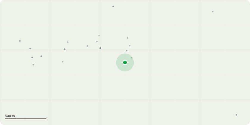
Approximate location
Proposal
The conservatory built in 2004 has a tinted glass roof. This proposal is to replace the existing glass roof with a tiled conservatory roof that is compliant with both Building Regulations and the latest fire safety standards. In addition the current window frames, glazing and doors with be replaced to comply with updated safety, security and energy efficiency standards. There is no planned change to the existing footprint or apex. Roof InstallationErect scaffolding platform around roof perimeter.Erect New UltraROOF structure.Install new cavity trays and code 4 lead flashing.Install the expandable insulated panels, OSB boarding, breathable membraned and carbon grey GRP tiles. (Which match garden patios and wall).Install the external fascia and guttering.Electrics to include LED spotlights, Central ridge point light, move light switch and fit extra double socket.Frames and Window BoardInstall new white PVCu Window and French doorsGlazed with energy A rated glass (Obscure windows fitted where required)Fit handles
Key dates
- Received 20 Mar 2025
- Validated 20 Mar 2025
- Started 20 Mar 2025
- Decided 20 May 2025
Planning history / related applications
No related planning applications have been identified in the current public OGL dataset.
Inside plotEdge
Go beyond the public record
This page is the public OGL record. plotEdge adds the private intelligence layer for this site - open it in the app to unlock:
- Ownership & title Registered owner and title from HM Land Registry.
- Viability & build potential Site scoring and development upside.
- Constraints Flood risk, green belt, conservation areas and designations.
- Approval signal Planning risk and approval-likelihood analysis.
- Comparable applications Decisions on similar nearby sites, side by side.
- Status alerts Get notified the moment this application changes.
Source: public planning application data from Winchester, reused under the Open Government Licence v3.0. View the council source record. Council documents and drawings are not republished on plotEdge.