Winchester
Winchester/24/02090/TPO
5 Sleepers Hill Gardens Winchester Hampshire SO22 4NT
- Reference
- Winchester/24/02090/TPO
- Authority
- Winchester
- Application type
- Tree preservation order
- Address
- 5 Sleepers Hill Gardens Winchester Hampshire SO22 4NT
- Postcode
- SO22 4NT
- Status
- Decided
- Decision
- Application Permitted
- Received
- 25 Sept 2024
- Validated
- 25 Sept 2024
- Started
- 25 Sept 2024
- Decided
- 13 Nov 2024
- Source council
- Winchester
- Council source record
- View public record
- Public data licence
- Open Government Licence v3.0
- Record updated
- 18 Jul 2026
- SEO index generated
- 24 Jul 2026
Location
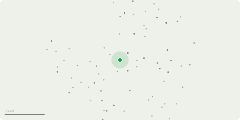
Approximate location
Proposal
Trees 1, 2 & 4 Quercus ilex: Fell. (Amended)Tree 6. Taxus bacatta: FellThe site is a South facing garden, with a double row of mature trees within 8m of the nearest face of the property. The shading is extreme, and therefore the applicant wishes to fell one yew to the SE of the structure and three holm oaks occupying that northern row nearest the house, whilst retaining some of the southern row for screening from neighbouring properties. There are also two holm oaks to the SW aspect of the structure to be felled as they are both in a severe state of decline with a strong canopy bias over the neighbouring properties.Although appearing extreme, these trees aren't particularly visible from anywhere other than the garden of 5 Sleepers hill gardens, so removing this N aspect row will enable the occupants of Thurmond crescent to still enjoy the amenity of the S facing row, whilst alleviating the shading for the applicant.
Key dates
- Received 25 Sept 2024
- Validated 25 Sept 2024
- Started 25 Sept 2024
- Decided 13 Nov 2024
Planning history / related applications
No related planning applications have been identified in the current public OGL dataset.
Inside plotEdge
Go beyond the public record
This page is the public OGL record. plotEdge adds the private intelligence layer for this site - open it in the app to unlock:
- Ownership & title Registered owner and title from HM Land Registry.
- Viability & build potential Site scoring and development upside.
- Constraints Flood risk, green belt, conservation areas and designations.
- Approval signal Planning risk and approval-likelihood analysis.
- Comparable applications Decisions on similar nearby sites, side by side.
- Status alerts Get notified the moment this application changes.
Source: public planning application data from Winchester, reused under the Open Government Licence v3.0. View the council source record. Council documents and drawings are not republished on plotEdge.