Winchester
Winchester/24/01753/TPO
41 The Ridings Waltham Chase Southampton Hampshire SO32 2TR
- Reference
- Winchester/24/01753/TPO
- Authority
- Winchester
- Application type
- Tree preservation order
- Address
- 41 The Ridings Waltham Chase Southampton Hampshire SO32 2TR
- Postcode
- SO32 2TR
- Status
- Decided
- Decision
- Application Permitted
- Received
- 14 Aug 2024
- Validated
- 14 Aug 2024
- Started
- 14 Aug 2024
- Decided
- 30 Oct 2024
- Source council
- Winchester
- Council source record
- View public record
- Public data licence
- Open Government Licence v3.0
- Record updated
- 18 Jul 2026
- SEO index generated
- 24 Jul 2026
Location
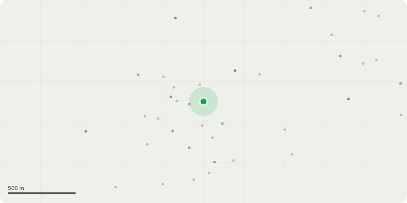
Approximate location
Proposal
Your permission is kindly sought to carry out very minor crown-lifting work on a rear garden, 24m high (approx) by 1.2m (approx diameter) Oak tree. It dwarfs the garden on its eastern boundary, culminating in a lot of shade/debris dropping/lawn moss. Crown-lifting is therefore only sought on the tree's western side where the lawn is sited. The lowest 125mm diameter branch which is 4m long & 2m up, on the western side, would be removed. The s/westerly aspect of the tree would be crown-lifted up to 5m, thus removing smaller, secondary branches up to 50mm in diameter. The western side would be further crown-lifted up to 6m with maximum pruning cuts being 65mm. Clearly such minimally impactive work will not be detrimental to the tree's health or aesthetic impact, let alone its amenity value, being it's such an enormous specimen. Some small dead-wooding would be undertaken at the same time on the tree's same side, up to 6m from the ground, too.
Key dates
- Received 14 Aug 2024
- Validated 14 Aug 2024
- Started 14 Aug 2024
- Decided 30 Oct 2024
Planning history / related applications
No related planning applications have been identified in the current public OGL dataset.
Inside plotEdge
Go beyond the public record
This page is the public OGL record. plotEdge adds the private intelligence layer for this site - open it in the app to unlock:
- Ownership & title Registered owner and title from HM Land Registry.
- Viability & build potential Site scoring and development upside.
- Constraints Flood risk, green belt, conservation areas and designations.
- Approval signal Planning risk and approval-likelihood analysis.
- Comparable applications Decisions on similar nearby sites, side by side.
- Status alerts Get notified the moment this application changes.
Source: public planning application data from Winchester, reused under the Open Government Licence v3.0. View the council source record. Council documents and drawings are not republished on plotEdge.