Wigan
Wigan/A/26/100594/WTTPO
Lowton West Primary School Slag Lane Lowton Warrington WA3 2ED
- Reference
- Wigan/A/26/100594/WTTPO
- Authority
- Wigan
- Application type
- WTTPO
- Address
- Lowton West Primary School Slag Lane Lowton Warrington WA3 2ED
- Postcode
- WA3 2ED
- Status
- Decided
- Decision
- Approved with Conditions
- Received
- 10 Mar 2026
- Validated
- 10 Mar 2026
- Started
- 10 Mar 2026
- Decided
- 22 May 2026
- Source council
- Wigan
- Council source record
- View public record
- Public data licence
- Open Government Licence v3.0
- Record updated
- 18 Jul 2026
- SEO index generated
- 24 Jul 2026
Location
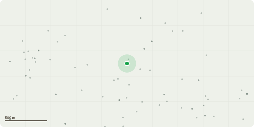
Approximate location
Proposal
G2 - 2no Willow trees, mature trees with basal fruiting bodies possibly honey fungus, trees nearing end of lifespan, target areas include school buildings, surrounding out buildings and high use areas for children, staff, parents. Request to fell to ground level.T1 - Ash, Low lateral boughs covering children's playground, tree showing moderate signs of ADB. due to the location and potential for failure request is to remove large boughs as preemptive measure to reduce unacceptable risk. 'buffers' will be left so no large wounds are back to the stem, tree can then be monitored and a managed decline can be implemented as and when tree deteriorates. T2 - Ash, Tree located at main school entrance, has moderate signs of ADB and has a significant lean and is co dominant. Due to the location and condition request is to fell. Targets include adjacent road, heavy foot traffic associated with a busy school. (If tree officer prefers monitoring and a managed decline we advised this may be an option to the school)
Key dates
- Received 10 Mar 2026
- Validated 10 Mar 2026
- Started 10 Mar 2026
- Decided 22 May 2026
Planning history / related applications
No related planning applications have been identified in the current public OGL dataset.
Inside plotEdge
Go beyond the public record
This page is the public OGL record. plotEdge adds the private intelligence layer for this site - open it in the app to unlock:
- Ownership & title Registered owner and title from HM Land Registry.
- Viability & build potential Site scoring and development upside.
- Constraints Flood risk, green belt, conservation areas and designations.
- Approval signal Planning risk and approval-likelihood analysis.
- Comparable applications Decisions on similar nearby sites, side by side.
- Status alerts Get notified the moment this application changes.
Source: public planning application data from Wigan, reused under the Open Government Licence v3.0. View the council source record. Council documents and drawings are not republished on plotEdge.