Wigan
Wigan/A/25/099765/WTTPO
188 Newton Road Lowton Warrington WA3 2AL
- Reference
- Wigan/A/25/099765/WTTPO
- Authority
- Wigan
- Application type
- WTTPO
- Address
- 188 Newton Road Lowton Warrington WA3 2AL
- Postcode
- WA3 2AL
- Status
- Decided
- Decision
- Approved with Conditions
- Received
- 2 Oct 2025
- Validated
- 3 Oct 2025
- Started
- 3 Oct 2025
- Decided
- 15 Oct 2025
- Source council
- Wigan
- Council source record
- View public record
- Public data licence
- Open Government Licence v3.0
- Record updated
- 18 Jul 2026
- SEO index generated
- 24 Jul 2026
Location
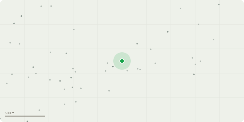
Approximate location
Proposal
1. chestnut (Aesculus hippocastanum) tree on bank with exposed roots to west face fell to ground .poor shape and form with signs of bleeding canker 2. Chestnut (Aesculus hippocastanum) with large extended lateral limb over house , with signs of bleeding canker, reduce limb back to appropriate growth point approx. 4m from main stem and reduce crown by 3.5m3.large lime (Talia). with large crown which adds to sail effect overhanging property behind. Crown reduce by 3m4.sycamore (Acer pseudoplatanus) has lean to garden and over hangs house crown reduce by 3.5m .All trees overhang 190A and 190B newton lane these are tall trees with large limbs given the current summer weather we have had and the diseases they pose a risk to property or life, the properties are also under tenancy to HS2 .We are the acting agent on the behalf of HS2, I am the forestry and Arboriculture consultant for Carter Jonas.
Key dates
- Received 2 Oct 2025
- Validated 3 Oct 2025
- Started 3 Oct 2025
- Decided 15 Oct 2025
Planning history / related applications
No related planning applications have been identified in the current public OGL dataset.
Inside plotEdge
Go beyond the public record
This page is the public OGL record. plotEdge adds the private intelligence layer for this site - open it in the app to unlock:
- Ownership & title Registered owner and title from HM Land Registry.
- Viability & build potential Site scoring and development upside.
- Constraints Flood risk, green belt, conservation areas and designations.
- Approval signal Planning risk and approval-likelihood analysis.
- Comparable applications Decisions on similar nearby sites, side by side.
- Status alerts Get notified the moment this application changes.
Source: public planning application data from Wigan, reused under the Open Government Licence v3.0. View the council source record. Council documents and drawings are not republished on plotEdge.