Wigan
Wigan/A/24/97687/NMAS
St John Fisher Catholic High School Baytree Road Wigan WN6 7RN
- Reference
- Wigan/A/24/97687/NMAS
- Authority
- Wigan
- Application type
- NMAS
- Address
- St John Fisher Catholic High School Baytree Road Wigan WN6 7RN
- Postcode
- WN6 7RN
- Status
- Decided
- Decision
- Withdrawn
- Received
- 1 Aug 2024
- Validated
- 2 Aug 2024
- Started
- 2 Aug 2024
- Decided
- 26 Nov 2024
- Source council
- Wigan
- Council source record
- View public record
- Public data licence
- Open Government Licence v3.0
- Record updated
- 18 Jul 2026
- SEO index generated
- 24 Jul 2026
Location
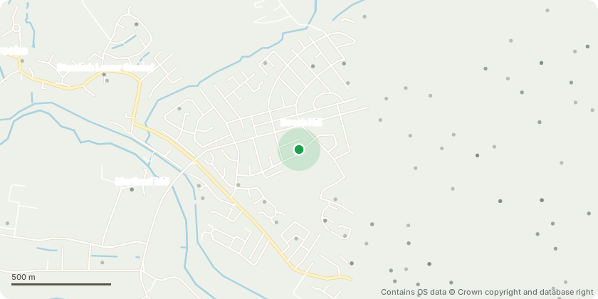
Approximate location - Contains OS data © Crown copyright and database right
Proposal
Non Material amendment application for previously approved application A/21/92388/MAJORFencing to site frontage changed to replace existing with new fencing due to operational concerns at the schoolPV canopy locations and extents amendedEastern car park amendments to align with PV canopiesEastern car park re-arrangement motorcycle bays and parking bay switchedRetaining wall to car park access updatedGrass swale added to the west of the Sports BlockExisting stepped ramp access to playing field retained (new stair removed)New trees repositioned to avoid clashing with servicesPlanting added to north-west of Teaching BlockRelocation of gas enclosure near to the substationRelocation of visitor cycle parking to former location of gas enclosureUpdate to services at roof level
Key dates
- Received 1 Aug 2024
- Validated 2 Aug 2024
- Started 2 Aug 2024
- Decided 26 Nov 2024
Planning history / related applications
No related planning applications have been identified in the current public OGL dataset.
Inside plotEdge
Go beyond the public record
This page is the public OGL record. plotEdge adds the private intelligence layer for this site - open it in the app to unlock:
- Ownership & title Registered owner and title from HM Land Registry.
- Viability & build potential Site scoring and development upside.
- Constraints Flood risk, green belt, conservation areas and designations.
- Approval signal Planning risk and approval-likelihood analysis.
- Comparable applications Decisions on similar nearby sites, side by side.
- Status alerts Get notified the moment this application changes.
Source: public planning application data from Wigan, reused under the Open Government Licence v3.0. View the council source record. Council documents and drawings are not republished on plotEdge.