Westmorland and Furness
Westmorland and Furness/2026/1451/LDLB
17 Mitchelgate Kirkby Lonsdale CARNFORTH LA6 2BE
- Reference
- Westmorland and Furness/2026/1451/LDLB
- Authority
- Westmorland and Furness
- Application type
- Lawful Development Certificate - Listed Building
- Address
- 17 Mitchelgate Kirkby Lonsdale CARNFORTH LA6 2BE
- Postcode
- LA6 2BE
- Status
- Consultation Started Skip to tab content. Make comments on this application Track This Application × To subscribe and follow this Planning application please provide us with your full name and Email address. Name Email Subscribe Cancel Planning Online
- Decision
- Pending
- Received
- 20 Jul 2026
- Started
- 20 Jul 2026
- Source council
- Westmorland and Furness
- Council source record
- View public record
- Public data licence
- Open Government Licence v3.0
- Record updated
- 30 Jul 2026
- SEO index generated
- 31 Jul 2026
Location
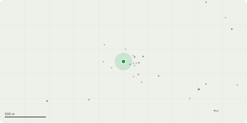
Approximate location
Proposal
Application for a Certificate of Lawfulness of Proposed Works to a Listed Building for refurbishment of the existing bathroom on the first floor comprising removal of the existing worn bath, basin, toilet and Saniflow macerator. Installation of new shower enclosure, basin, toilet and Saniflow macerator. Installation of air extraction fan, ducted through external west wall. Removal of carpet and replacement with vinyl wood effect floor covering. Installation of LED recessed ceiling lights, replacing single ceiling pendant light. Upgrade central heating radiator. Existing fireplace will be retained with original grate
Key dates
- Received 20 Jul 2026
- Started 20 Jul 2026
Planning history / related applications
No related planning applications have been identified in the current public OGL dataset.
Inside plotEdge
Go beyond the public record
This page is the public OGL record. plotEdge adds the private intelligence layer for this site - open it in the app to unlock:
- Ownership & title Registered owner and title from HM Land Registry.
- Viability & build potential Site scoring and development upside.
- Constraints Flood risk, green belt, conservation areas and designations.
- Approval signal Planning risk and approval-likelihood analysis.
- Comparable applications Decisions on similar nearby sites, side by side.
- Status alerts Get notified the moment this application changes.
Source: public planning application data from Westmorland and Furness, reused under the Open Government Licence v3.0. View the council source record. Council documents and drawings are not republished on plotEdge.