Westmorland and Furness
Westmorland and Furness/2026/0027/TCA
West View Nicholson Lane PENRITH CA11 7UJ
- Reference
- Westmorland and Furness/2026/0027/TCA
- Authority
- Westmorland and Furness
- Application type
- Tree in Conservation Area
- Address
- West View Nicholson Lane PENRITH CA11 7UJ
- Postcode
- CA11 7UJ
- Status
- Determined
- Received
- 15 Jan 2026
- Started
- 15 Jan 2026
- Decided
- 10 Feb 2026
- Source council
- Westmorland and Furness
- Council source record
- View public record
- Public data licence
- Open Government Licence v3.0
- Record updated
- 12 Jul 2026
- SEO index generated
- 24 Jul 2026
Location
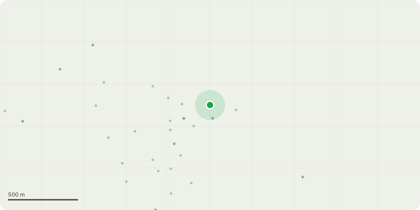
Approximate location
Proposal
S211 Conservation Area tree works notification: 1 - Fell Flowering Cherry as is overshadowed by a mature fir, and as a result is stunted and unattractive. Mature and growing trees will remain to either side so no replanting is proposed. 2 - Fell Fir tree as topping appears to have taken place in the past, resulting in two weak co-dominant stems and the majority of growth taking place to the sides. 3 - Fell three Cypress Trees as each have been savagely topped in recent years, making them unsightly and growth now only takes place around their bases. 4 - Fell clump of Lime trees in order to provide better clearance to the property as their location means that both stem growth and root structure disrupts the adjacent garden wall and reduces light to the house, and propose to plant a shrub that is more suitable for that location.
Key dates
- Received 15 Jan 2026
- Started 15 Jan 2026
- Decided 10 Feb 2026
Planning history / related applications
No related planning applications have been identified in the current public OGL dataset.
Inside plotEdge
Go beyond the public record
This page is the public OGL record. plotEdge adds the private intelligence layer for this site - open it in the app to unlock:
- Ownership & title Registered owner and title from HM Land Registry.
- Viability & build potential Site scoring and development upside.
- Constraints Flood risk, green belt, conservation areas and designations.
- Approval signal Planning risk and approval-likelihood analysis.
- Comparable applications Decisions on similar nearby sites, side by side.
- Status alerts Get notified the moment this application changes.
Source: public planning application data from Westmorland and Furness, reused under the Open Government Licence v3.0. View the council source record. Council documents and drawings are not republished on plotEdge.