Westmorland and Furness
Westmorland and Furness/2025/1994/TCA
Headless Cross Cark Road Cartmel GRANGE-OVER-SANDS LA11 7SF
- Reference
- Westmorland and Furness/2025/1994/TCA
- Authority
- Westmorland and Furness
- Application type
- Tree in Conservation Area
- Address
- Headless Cross Cark Road Cartmel GRANGE-OVER-SANDS LA11 7SF
- Postcode
- LA11 7SF
- Status
- Withdrawn
- Received
- 16 Oct 2025
- Started
- 16 Oct 2025
- Decided
- 17 Oct 2025
- Source council
- Westmorland and Furness
- Council source record
- View public record
- Public data licence
- Open Government Licence v3.0
- Record updated
- 12 Jul 2026
- SEO index generated
- 24 Jul 2026
Location
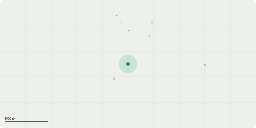
Approximate location
Proposal
We would like to fully remove the cherry tree in the attached picture. We're about the buy the house (Headless Cross) and will complete the works already started by current owner. When looking at the works with our builder, in terms of scheduling, we realised it would be very useful to remove the tree so as to create temporary access for vans/deliveries, with the longer-term view of having a gate in front of a one-car space leading up to the garden. Removing the tree will allow for more space in general, a nicer-looking garden once works completed, and more logical access. In the short-term, it will create a gap with views over to the field behind, but our plan is to enclose the garden fully with hedging - which we hope will look a lot more aesthetically pleasing than it does currently.
Key dates
- Received 16 Oct 2025
- Started 16 Oct 2025
- Decided 17 Oct 2025
Planning history / related applications
No related planning applications have been identified in the current public OGL dataset.
Inside plotEdge
Go beyond the public record
This page is the public OGL record. plotEdge adds the private intelligence layer for this site - open it in the app to unlock:
- Ownership & title Registered owner and title from HM Land Registry.
- Viability & build potential Site scoring and development upside.
- Constraints Flood risk, green belt, conservation areas and designations.
- Approval signal Planning risk and approval-likelihood analysis.
- Comparable applications Decisions on similar nearby sites, side by side.
- Status alerts Get notified the moment this application changes.
Source: public planning application data from Westmorland and Furness, reused under the Open Government Licence v3.0. View the council source record. Council documents and drawings are not republished on plotEdge.