Westmorland and Furness
Westmorland and Furness/2024/2408/TPO
Swarthmoor Hall Wood Springfield Road ULVERSTON LA12 0EH
- Reference
- Westmorland and Furness/2024/2408/TPO
- Authority
- Westmorland and Furness
- Application type
- Tree Preservation Order
- Address
- Swarthmoor Hall Wood Springfield Road ULVERSTON LA12 0EH
- Postcode
- LA12 0EH
- Status
- Determined
- Received
- 19 Dec 2024
- Started
- 19 Dec 2024
- Decided
- 15 Jan 2025
- Source council
- Westmorland and Furness
- Council source record
- View public record
- Public data licence
- Open Government Licence v3.0
- Record updated
- 12 Jul 2026
- SEO index generated
- 24 Jul 2026
Location
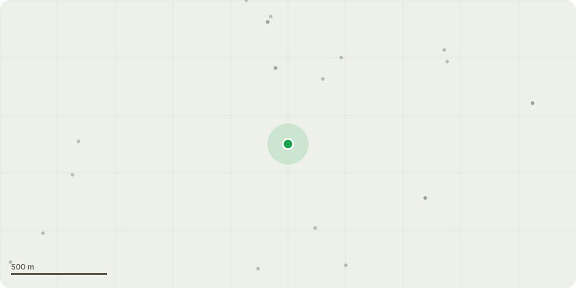
Approximate location
Proposal
Lancashire CC TPO No 6 1953 T1) Sycamore leaning on wall with snowberry either side - fell tree, cut snowberry down. T2) Sycamore upslope & slightly north from path near bench - Tree very rotten at base, on stilts. Fell. T3) Sycamore with some branches close to touching shed - prune back T4) Hornbeam 44cm dbh, 50% dead branches on the house side, and bias towards the house - Fell T5) Cherry - 16cm dbh, adjacent to house has rot in base - Fell G6) By Levy Beck Bridge under road - Lower tree branches are just touching the bridge parapet - Clear all these well back T7) Large Cherry broken over fence into field. Clear fallen tree. Trunks to be left in long lengths, brash to either be stacked neatly (preferably) for habitat, or chipped (if stacking difficult)
Key dates
- Received 19 Dec 2024
- Started 19 Dec 2024
- Decided 15 Jan 2025
Planning history / related applications
No related planning applications have been identified in the current public OGL dataset.
Inside plotEdge
Go beyond the public record
This page is the public OGL record. plotEdge adds the private intelligence layer for this site - open it in the app to unlock:
- Ownership & title Registered owner and title from HM Land Registry.
- Viability & build potential Site scoring and development upside.
- Constraints Flood risk, green belt, conservation areas and designations.
- Approval signal Planning risk and approval-likelihood analysis.
- Comparable applications Decisions on similar nearby sites, side by side.
- Status alerts Get notified the moment this application changes.
Source: public planning application data from Westmorland and Furness, reused under the Open Government Licence v3.0. View the council source record. Council documents and drawings are not republished on plotEdge.