Westmorland and Furness
Westmorland and Furness/2024/2072/TCA
Four Oaks 23 Fernhill Road GRANGE-OVER-SANDS LA11 7JD
- Reference
- Westmorland and Furness/2024/2072/TCA
- Authority
- Westmorland and Furness
- Application type
- Tree in Conservation Area
- Address
- Four Oaks 23 Fernhill Road GRANGE-OVER-SANDS LA11 7JD
- Postcode
- LA11 7JD
- Status
- Determined
- Received
- 6 Nov 2024
- Started
- 6 Nov 2024
- Decided
- 28 Nov 2024
- Source council
- Westmorland and Furness
- Council source record
- View public record
- Public data licence
- Open Government Licence v3.0
- Record updated
- 12 Jul 2026
- SEO index generated
- 24 Jul 2026
Location
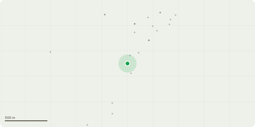
Approximate location
Proposal
Palm tree. Removal. Small palm tree in front of the property window. Roughly 2.3m high. Roughly 2m from property We propose removing this palm tree as it is getting bigger and is now beginning to block light into the property. Additionally we want to create a seating area to the front of the property. Additional context. We are removing more shrubbery to the front and within the garden at a lower height than 1.5 metres. This is predominantly about 'levelling' the current garden as it is on multiple levels and is dangerous. We propose adding in rose bushes, bramble bushes and another apple tree in another part of the garden as part of the changes. The removal of anything is mainly shrubs, ferns, fig bush and grasses at a low level. The palm tree is the only tree over 1.5 metres with a diameter of over 7.5cm in the garden that we are proposing changing. We would not want to add a replacement tree in the same part of the garden as it would create the same issue of light blocking. We would propose adding trees and bushes into other parts of the garden (listed above) that don't block light or views for neighbouring properties.
Key dates
- Received 6 Nov 2024
- Started 6 Nov 2024
- Decided 28 Nov 2024
Planning history / related applications
No related planning applications have been identified in the current public OGL dataset.
Inside plotEdge
Go beyond the public record
This page is the public OGL record. plotEdge adds the private intelligence layer for this site - open it in the app to unlock:
- Ownership & title Registered owner and title from HM Land Registry.
- Viability & build potential Site scoring and development upside.
- Constraints Flood risk, green belt, conservation areas and designations.
- Approval signal Planning risk and approval-likelihood analysis.
- Comparable applications Decisions on similar nearby sites, side by side.
- Status alerts Get notified the moment this application changes.
Source: public planning application data from Westmorland and Furness, reused under the Open Government Licence v3.0. View the council source record. Council documents and drawings are not republished on plotEdge.