Westminster
Westminster/26/04706/TCA
28A Westbourne Gardens London W2 5PU
- Reference
- Westminster/26/04706/TCA
- Authority
- Westminster
- Application type
- Trees in conservation area
- Address
- 28A Westbourne Gardens London W2 5PU
- Postcode
- W2 5PU
- Status
- Pending
- Received
- 14 Jul 2026
- Started
- 14 Jul 2026
- Source council
- Westminster
- Council source record
- View public record
- Public data licence
- Open Government Licence v3.0
- Record updated
- 18 Jul 2026
- SEO index generated
- 24 Jul 2026
Location
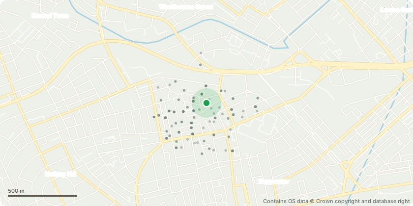
Approximate location - Contains OS data © Crown copyright and database right
Proposal
Proposed works:Fell and remove one mature yucca tree, approximately 6 metres in height, located in the rear garden of 28A Westbourne Gardens, London W2. Remove the tree to ground level and dispose of all arisings.Reason for the works: We have a large Yucca tree in our back garden which is well over 6m high - it has 3 major limbs and no matter how hard we try to prune it, it keeps getting bigger and bigger - it leans away from an adjoing wall and we fear it will eventually bring the war down and fall onto both our garden and the neighbours - it has already burst out of the box that was established to contain it over 10 year ago The yucca has significantly outgrown its location within the rear garden and is no longer suitable for the available space. Its size is causing ongoing maintenance issues and it has become disproportionate to the scale of the garden. Removal is sought to improve the amenity and usability of the garden and to allow for more appropriate future landscaping. The proposed works relate only to this single tree.
Key dates
- Received 14 Jul 2026
- Started 14 Jul 2026
Planning history / related applications
No related planning applications have been identified in the current public OGL dataset.
Inside plotEdge
Go beyond the public record
This page is the public OGL record. plotEdge adds the private intelligence layer for this site - open it in the app to unlock:
- Ownership & title Registered owner and title from HM Land Registry.
- Viability & build potential Site scoring and development upside.
- Constraints Flood risk, green belt, conservation areas and designations.
- Approval signal Planning risk and approval-likelihood analysis.
- Comparable applications Decisions on similar nearby sites, side by side.
- Status alerts Get notified the moment this application changes.
Source: public planning application data from Westminster, reused under the Open Government Licence v3.0. View the council source record. Council documents and drawings are not republished on plotEdge.