Westminster
Westminster/26/04690/TCA
Stornaway House 13 Cleveland Row London SW1A 1BW
- Reference
- Westminster/26/04690/TCA
- Authority
- Westminster
- Application type
- Trees in conservation area
- Address
- Stornaway House 13 Cleveland Row London SW1A 1BW
- Postcode
- SW1A 1BW
- Status
- Pending
- Received
- 14 Jul 2026
- Started
- 14 Jul 2026
- Source council
- Westminster
- Council source record
- View public record
- Public data licence
- Open Government Licence v3.0
- Record updated
- 18 Jul 2026
- SEO index generated
- 24 Jul 2026
Location
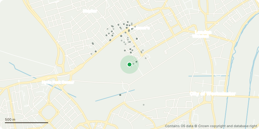
Approximate location - Contains OS data © Crown copyright and database right
Proposal
rear rightT1 London Plane x 1 (Platanus x hispanica) This extra-large plane tree is growing partly over a glass office ceiling. It has been cut back previously, but now requires a harder reduction back towards the edge of the glass. There are cavities on the limb over the roof which shows signs of adaptive growth Suggested work:- Reduce the growth over the glass ceiling back 3-4m to reduce weight. This includes removing some branches roughly 100mm thick. These will be lowered using advanced rigging techniques.- Inspect the upper canopy for massaria, remove where necessary. Reduce remaining crown back to previous reduction points with lots of furnishing growth/ thin remaining pointsrear leftT2 Turkey Oak x 1 (Quercus cerris) This large Turkish oak is being suppressed by the neighbouring plane tree, as such the vast majority of the growth is over the courtyard. Suggested work Weight reduce the tips by reducing the lateral growth by 1.5-2m. Remove epicormic growth
Key dates
- Received 14 Jul 2026
- Started 14 Jul 2026
Planning history / related applications
No related planning applications have been identified in the current public OGL dataset.
Inside plotEdge
Go beyond the public record
This page is the public OGL record. plotEdge adds the private intelligence layer for this site - open it in the app to unlock:
- Ownership & title Registered owner and title from HM Land Registry.
- Viability & build potential Site scoring and development upside.
- Constraints Flood risk, green belt, conservation areas and designations.
- Approval signal Planning risk and approval-likelihood analysis.
- Comparable applications Decisions on similar nearby sites, side by side.
- Status alerts Get notified the moment this application changes.
Source: public planning application data from Westminster, reused under the Open Government Licence v3.0. View the council source record. Council documents and drawings are not republished on plotEdge.