Westminster
Westminster/26/04070/NMA
Development Site At 5 - 9 Great Newport Street London WC2H 7JA
- Reference
- Westminster/26/04070/NMA
- Authority
- Westminster
- Application type
- Non-material amendment
- Address
- Development Site At 5 - 9 Great Newport Street London WC2H 7JA
- Postcode
- WC2H 7JA
- Status
- Pending
- Received
- 19 Jun 2026
- Started
- 19 Jun 2026
- Source council
- Westminster
- Council source record
- View public record
- Public data licence
- Open Government Licence v3.0
- Record updated
- 18 Jul 2026
- SEO index generated
- 24 Jul 2026
Location
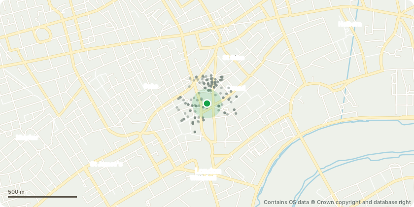
Approximate location - Contains OS data © Crown copyright and database right
Proposal
Amendments to planning permission dated 13th March 2026 (RN:24/02467/FULL) for Redevelopment of buildings at 5 - 9 Great Newport Street comprising demolition behind retained facades excluding the listed building, excavation of small area of basement, rear development up to ground plus six storeys and associated alterations, including the installation of new screened plant, all in conjunction with the mixed-use of the buildings as a pod hostel, theatre, and offices. Namely, the revision of the shape and extent of the sprinkler tank and pump room at lower basement level to accommodate a smaller sized tank, reconfiguration of the internal layout at basement and ground floor levels, including a new staircase access to lower basement level, relocation of the waste and cycle store locations, and two lifts changed to terminate at ground level, the design of back-of-house entrance door amended to increase the width of the door, omission of frosted secondary glazing at first through fourth floors, and associated removal of part (v) of condition 26, height of the chimney and party wall at Nos. 9 and 10 Great Newport Street increased to improve the appearance of the façade and roofscape and design of the secondary door at No. 5 Great Newport Street changed to feature new timber panelled double doors opening in the existing outward swing direction.
Key dates
- Received 19 Jun 2026
- Started 19 Jun 2026
Planning history / related applications
No related planning applications have been identified in the current public OGL dataset.
Inside plotEdge
Go beyond the public record
This page is the public OGL record. plotEdge adds the private intelligence layer for this site - open it in the app to unlock:
- Ownership & title Registered owner and title from HM Land Registry.
- Viability & build potential Site scoring and development upside.
- Constraints Flood risk, green belt, conservation areas and designations.
- Approval signal Planning risk and approval-likelihood analysis.
- Comparable applications Decisions on similar nearby sites, side by side.
- Status alerts Get notified the moment this application changes.
Source: public planning application data from Westminster, reused under the Open Government Licence v3.0. View the council source record. Council documents and drawings are not republished on plotEdge.