Westminster
Westminster/26/03736/TCA
47 Shirland Road London W9 2JD
- Reference
- Westminster/26/03736/TCA
- Authority
- Westminster
- Application type
- Trees in conservation area
- Address
- 47 Shirland Road London W9 2JD
- Postcode
- W9 2JD
- Status
- Pending
- Received
- 8 Jun 2026
- Started
- 8 Jun 2026
- Source council
- Westminster
- Council source record
- View public record
- Public data licence
- Open Government Licence v3.0
- Record updated
- 18 Jul 2026
- SEO index generated
- 24 Jul 2026
Location
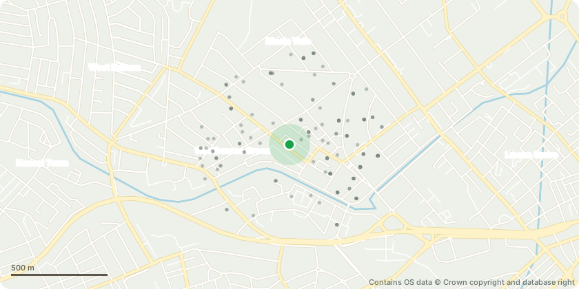
Approximate location - Contains OS data © Crown copyright and database right
Proposal
T2 Walnut: Crown reduce by approximately 1-2m and reshape to form a balanced and more compact crown.Justification:The Walnut is located within a relatively small urban rear garden and has become disproportionately large for its setting. The tree exhibits a noticeable lean and is encroaching upon the available garden space, creating an unbalanced appearance and increasing the dominance of the tree within the garden.The proposed reduction will contain the crown within the available space, reduce the extent of overhang and create a more balanced and aesthetically pleasing form whilst retaining the tree as an important landscape feature.The works will also improve light penetration to the garden and adjoining property, reducing excessive shading and improving the usability and enjoyment of the outdoor space.The proposed reduction represents a reasonable ongoing management approach that will allow the tree to be retained safely and sustainably within its constrained urban environment.
Key dates
- Received 8 Jun 2026
- Started 8 Jun 2026
Planning history / related applications
No related planning applications have been identified in the current public OGL dataset.
Inside plotEdge
Go beyond the public record
This page is the public OGL record. plotEdge adds the private intelligence layer for this site - open it in the app to unlock:
- Ownership & title Registered owner and title from HM Land Registry.
- Viability & build potential Site scoring and development upside.
- Constraints Flood risk, green belt, conservation areas and designations.
- Approval signal Planning risk and approval-likelihood analysis.
- Comparable applications Decisions on similar nearby sites, side by side.
- Status alerts Get notified the moment this application changes.
Source: public planning application data from Westminster, reused under the Open Government Licence v3.0. View the council source record. Council documents and drawings are not republished on plotEdge.