Westminster
Westminster/26/03610/TCA
13 Clifton Villas London W9 2PH
- Reference
- Westminster/26/03610/TCA
- Authority
- Westminster
- Application type
- Trees in conservation area
- Address
- 13 Clifton Villas London W9 2PH
- Postcode
- W9 2PH
- Status
- Pending
- Received
- 2 Jun 2026
- Started
- 2 Jun 2026
- Source council
- Westminster
- Council source record
- View public record
- Public data licence
- Open Government Licence v3.0
- Record updated
- 18 Jul 2026
- SEO index generated
- 24 Jul 2026
Location
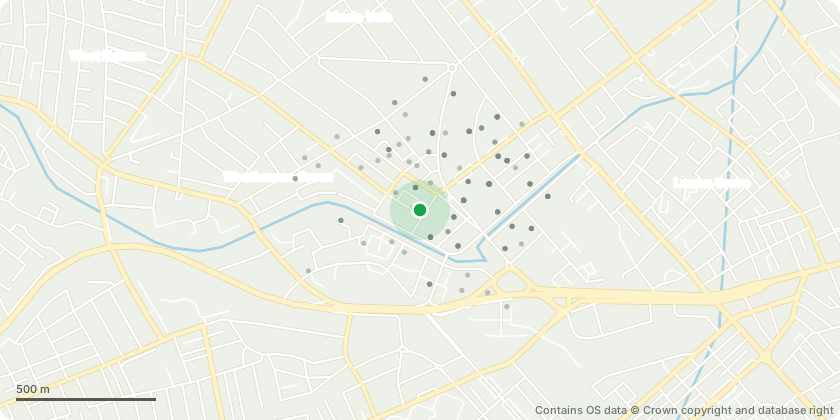
Approximate location - Contains OS data © Crown copyright and database right
Proposal
T1 Lime: Reduce the crown by approximately 30% (2 to 3 metres) from the height and lateral spread, pruning back to suitable previous reduction points. Remove basal growth and lower secondary branches up to approximately 3 metres above ground level.Justification:The Lime has previously been managed through cyclical crown reduction and has now produced substantial regrowth beyond the previous pruning points. The proposed works are required to maintain the tree at a suitable size for its location, reduce shading to neighbouring gardens and surrounding amenity areas, and prevent further encroachment into adjacent spaces.Removal of basal growth and lower branches will improve clearance beneath the canopy, enhance access and visibility, and create a more appropriate relationship between the tree and surrounding garden areas. The works will retain the tree's overall health, structure and amenity value whilst continuing an established management regime and ensuring the crown remains proportionate to its setting.
Key dates
- Received 2 Jun 2026
- Started 2 Jun 2026
Planning history / related applications
No related planning applications have been identified in the current public OGL dataset.
Inside plotEdge
Go beyond the public record
This page is the public OGL record. plotEdge adds the private intelligence layer for this site - open it in the app to unlock:
- Ownership & title Registered owner and title from HM Land Registry.
- Viability & build potential Site scoring and development upside.
- Constraints Flood risk, green belt, conservation areas and designations.
- Approval signal Planning risk and approval-likelihood analysis.
- Comparable applications Decisions on similar nearby sites, side by side.
- Status alerts Get notified the moment this application changes.
Source: public planning application data from Westminster, reused under the Open Government Licence v3.0. View the council source record. Council documents and drawings are not republished on plotEdge.