Westminster
Westminster/26/03131/NMA
Lords Cricket Ground St John's Wood Road London NW8 8QZ
- Reference
- Westminster/26/03131/NMA
- Authority
- Westminster
- Application type
- Non-material amendment
- Address
- Lords Cricket Ground St John's Wood Road London NW8 8QZ
- Postcode
- NW8 8QZ
- Status
- Decided
- Decision
- Application Permitted
- Received
- 12 May 2026
- Validated
- 12 May 2026
- Started
- 12 May 2026
- Decided
- 24 Jun 2026
- Source council
- Westminster
- Council source record
- View public record
- Public data licence
- Open Government Licence v3.0
- Record updated
- 18 Jul 2026
- SEO index generated
- 24 Jul 2026
Location
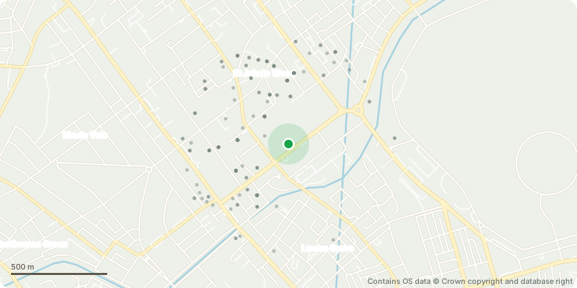
Approximate location - Contains OS data © Crown copyright and database right
Proposal
Amendments to planning permission dated 20 September 2019 (RN: 19/03696/FULL) for the removal of conditions 1 and 4 and variation of condition 2 of planning permission dated 31 January 2019 (18/10206/FULL) to allow the 3 existing retractable floodlights at the Compton, Edrich and Tavern stands to be retained permanently, to allow the headframe of the floodlights to remain in-situ outside of the cricket season, to allow unrestricted day use of the floodlights from 10am to 7.30pm (when required by bad light) and an extension of the number of evening uses of the floodlights from 10 to 18 per cricket season with an additional 5 evening matches in an International tournament year (international tournaments to be played not more than every 3 years). Namely, to vary the wording of condition 1 to facilitate the use of the existing floodlights to be used for drone shows scheduled for 20 and 21 November 2026 (with reserve dates in case of bad weather for 12 and 13 February 2027) between the hours of 16.30 and 18.00 (to facilitate safe access to seating) and 18.40-19.40 to facilitate safe egress following the show).
Key dates
- Received 12 May 2026
- Validated 12 May 2026
- Started 12 May 2026
- Decided 24 Jun 2026
Planning history / related applications
No related planning applications have been identified in the current public OGL dataset.
Inside plotEdge
Go beyond the public record
This page is the public OGL record. plotEdge adds the private intelligence layer for this site - open it in the app to unlock:
- Ownership & title Registered owner and title from HM Land Registry.
- Viability & build potential Site scoring and development upside.
- Constraints Flood risk, green belt, conservation areas and designations.
- Approval signal Planning risk and approval-likelihood analysis.
- Comparable applications Decisions on similar nearby sites, side by side.
- Status alerts Get notified the moment this application changes.
Source: public planning application data from Westminster, reused under the Open Government Licence v3.0. View the council source record. Council documents and drawings are not republished on plotEdge.