Westminster
Westminster/25/08532/LBC
North Wing Courtauld Institute Of Art Somerset House Strand London WC2E 7EA
- Reference
- Westminster/25/08532/LBC
- Authority
- Westminster
- Application type
- Listed building consent
- Address
- North Wing Courtauld Institute Of Art Somerset House Strand London WC2E 7EA
- Postcode
- WC2E 7EA
- Status
- Decided
- Decision
- Application Permitted
- Received
- 21 Nov 2025
- Validated
- 21 Nov 2025
- Started
- 21 Nov 2025
- Decided
- 1 May 2026
- Source council
- Westminster
- Council source record
- View public record
- Public data licence
- Open Government Licence v3.0
- Record updated
- 18 Jul 2026
- SEO index generated
- 24 Jul 2026
Location
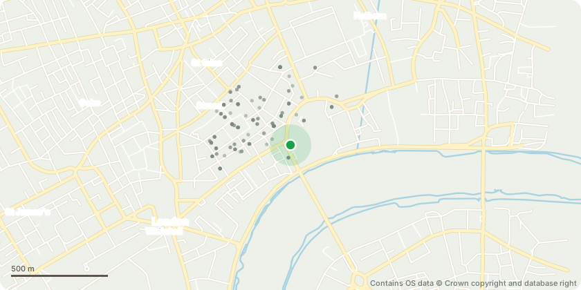
Approximate location - Contains OS data © Crown copyright and database right
Proposal
Introduction of new slate-clad dormer extensions on the north and east roof pitches; façade interventions, including retention of existing blind windows to the east elevation; removal of glazed structure from sunken East Wing courtyard and replacement with stone paved floor to create external terrace; new lighting to vestibule; alterations to the East Wing roof to accommodate new plant areas and associated access structures; removal of the 1980s lift shaft, adjoining access corridor and partial chimney breast to enable formation of new openings in party wall with 152-153 Strand; installation of a new lift shaft within the reconfigured lightwell; retention of East Wing Chambers Stair in existing position; partial removal of internal walls within the large seminar rooms; reinstatement of second-floor art gallery within current lecture theatre; adaption of existing cafe space at ground floor level to create new shop, including new openings in party wall to 152 Strand; and other internal alterations.
Key dates
- Received 21 Nov 2025
- Validated 21 Nov 2025
- Started 21 Nov 2025
- Decided 1 May 2026
Planning history / related applications
No related planning applications have been identified in the current public OGL dataset.
Inside plotEdge
Go beyond the public record
This page is the public OGL record. plotEdge adds the private intelligence layer for this site - open it in the app to unlock:
- Ownership & title Registered owner and title from HM Land Registry.
- Viability & build potential Site scoring and development upside.
- Constraints Flood risk, green belt, conservation areas and designations.
- Approval signal Planning risk and approval-likelihood analysis.
- Comparable applications Decisions on similar nearby sites, side by side.
- Status alerts Get notified the moment this application changes.
Source: public planning application data from Westminster, reused under the Open Government Licence v3.0. View the council source record. Council documents and drawings are not republished on plotEdge.