Westminster
Westminster/25/08351/NMA
Grosvenor Gardens House 35 - 37 Grosvenor Gardens London SW1W 0BS
- Reference
- Westminster/25/08351/NMA
- Authority
- Westminster
- Application type
- Non-material amendment
- Address
- Grosvenor Gardens House 35 - 37 Grosvenor Gardens London SW1W 0BS
- Postcode
- SW1W 0BS
- Status
- Decided
- Decision
- Application Permitted
- Received
- 14 Nov 2025
- Validated
- 24 Nov 2025
- Started
- 24 Nov 2025
- Decided
- 13 Mar 2026
- Source council
- Westminster
- Council source record
- View public record
- Public data licence
- Open Government Licence v3.0
- Record updated
- 18 Jul 2026
- SEO index generated
- 24 Jul 2026
Location
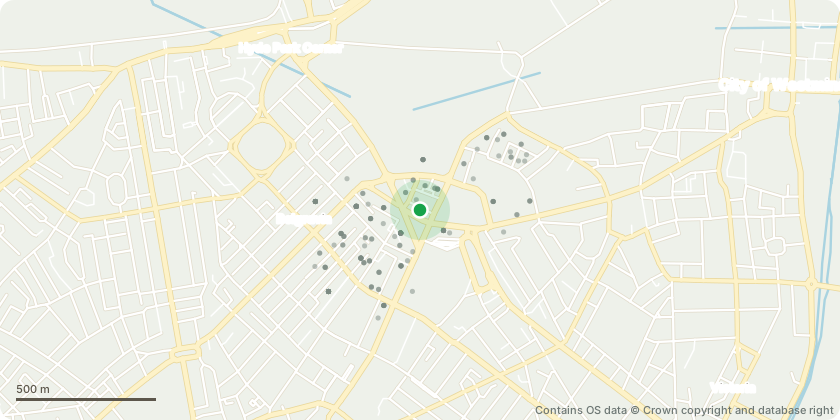
Approximate location - Contains OS data © Crown copyright and database right
Proposal
Amendments to planning permission dated 09 February 2023 (RN: 21/06372/FULL) which varied planning permission dated 3 July 2013 (RN: 12/07764/FULL) for: 'Demolition and rebuilding of rear section of building, excavation to create a two storey basement, extensions and associated refurbishment of Grosvenor Gardens House, to provide 42 residential units (Class C3) on first to seventh floors; reconfiguration at ground floor level to provide mixed retail use (Class A1 and/or Class A3); wellness facility, residential storage, plant, car and cycle parking at basement levels; and public realm works to Eaton Lane (23-47 Grosvenor Gardens and 44-52 Buckingham Palace Road)'. NAMELY, to allow additional fall prevention to Levels 2 and 3; amendments to gable end; chimney restoration; demolition of maintenance walkway; design development of stone dormers; installation of two dry riser inlets and ventilation grilles to Eaton Lane; amendments to UKPN and bin store door arrangement and high level privacy screens; omission of cat ladder and amendments to escape routes and roof-top services.
Key dates
- Received 14 Nov 2025
- Validated 24 Nov 2025
- Started 24 Nov 2025
- Decided 13 Mar 2026
Planning history / related applications
No related planning applications have been identified in the current public OGL dataset.
Inside plotEdge
Go beyond the public record
This page is the public OGL record. plotEdge adds the private intelligence layer for this site - open it in the app to unlock:
- Ownership & title Registered owner and title from HM Land Registry.
- Viability & build potential Site scoring and development upside.
- Constraints Flood risk, green belt, conservation areas and designations.
- Approval signal Planning risk and approval-likelihood analysis.
- Comparable applications Decisions on similar nearby sites, side by side.
- Status alerts Get notified the moment this application changes.
Source: public planning application data from Westminster, reused under the Open Government Licence v3.0. View the council source record. Council documents and drawings are not republished on plotEdge.