Westminster
Westminster/25/07907/NMA
107 Eaton Square London SW1W 9AA
- Reference
- Westminster/25/07907/NMA
- Authority
- Westminster
- Application type
- Non-material amendment
- Address
- 107 Eaton Square London SW1W 9AA
- Postcode
- SW1W 9AA
- Status
- Decided
- Decision
- Application Permitted
- Received
- 31 Oct 2025
- Validated
- 31 Oct 2025
- Started
- 31 Oct 2025
- Decided
- 10 Feb 2026
- Source council
- Westminster
- Council source record
- View public record
- Public data licence
- Open Government Licence v3.0
- Record updated
- 18 Jul 2026
- SEO index generated
- 24 Jul 2026
Location
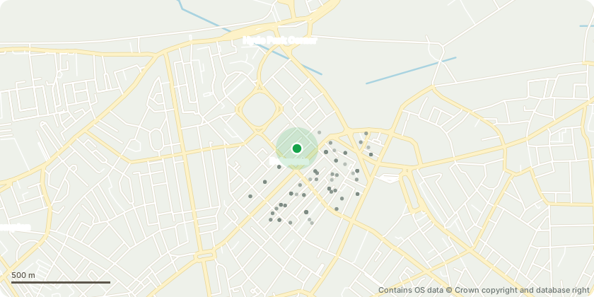
Approximate location - Contains OS data © Crown copyright and database right
Proposal
Amendments to planning permission dated 23 August 2021 (RN: 21/03324/FULL) for 'Demolition and redevelopment behind retained front and part facades as well as the demolition and reconstruction of mews properties to create two single family dwelling houses. Associated alterations and extensions include subterranean basements, which will extend beneath the mews; re-instatement of the party wall in the rear courtyard; re-instatement of entrance to no.108; rear lower ground floor extensions partially infilling the rear courtyard and with roof terraces above; construction of full height closet wing extensions; reconstruction of mansard roof extension; installation of mechanical plant; and internal alterations on all floor levels (Site includes nos. 107 - 108 Eaton Square and nos. 107 - 108 Eccleston Mews) (as amended by RN: 20/00069/NMA). Namely, internal changes to door openings, setting out and addition of insulation and minor changes to front entrance doors.
Key dates
- Received 31 Oct 2025
- Validated 31 Oct 2025
- Started 31 Oct 2025
- Decided 10 Feb 2026
Planning history / related applications
No related planning applications have been identified in the current public OGL dataset.
Inside plotEdge
Go beyond the public record
This page is the public OGL record. plotEdge adds the private intelligence layer for this site - open it in the app to unlock:
- Ownership & title Registered owner and title from HM Land Registry.
- Viability & build potential Site scoring and development upside.
- Constraints Flood risk, green belt, conservation areas and designations.
- Approval signal Planning risk and approval-likelihood analysis.
- Comparable applications Decisions on similar nearby sites, side by side.
- Status alerts Get notified the moment this application changes.
Source: public planning application data from Westminster, reused under the Open Government Licence v3.0. View the council source record. Council documents and drawings are not republished on plotEdge.