Westminster
Westminster/25/07589/NMA
Admiralty Arch The Mall London SW1A 2WH
- Reference
- Westminster/25/07589/NMA
- Authority
- Westminster
- Application type
- Non-material amendment
- Address
- Admiralty Arch The Mall London SW1A 2WH
- Postcode
- SW1A 2WH
- Status
- Decided
- Decision
- Application Permitted
- Received
- 21 Oct 2025
- Validated
- 21 Oct 2025
- Started
- 21 Oct 2025
- Decided
- 19 Nov 2025
- Source council
- Westminster
- Council source record
- View public record
- Public data licence
- Open Government Licence v3.0
- Record updated
- 18 Jul 2026
- SEO index generated
- 24 Jul 2026
Location
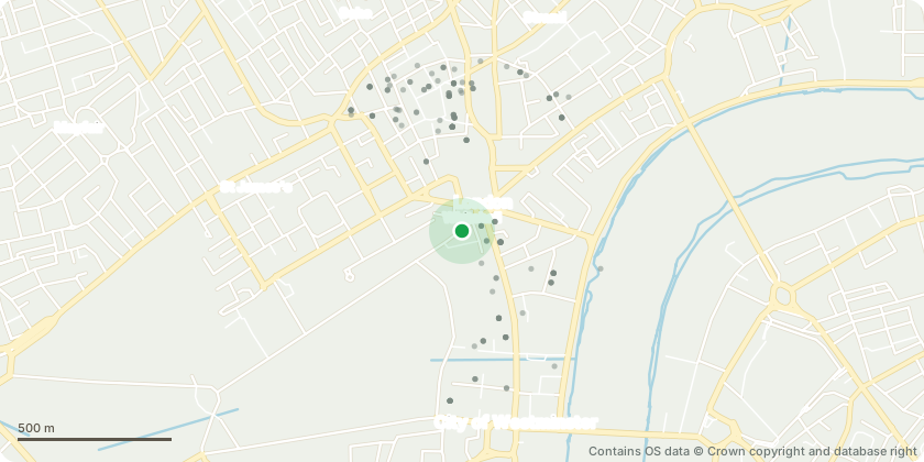
Approximate location - Contains OS data © Crown copyright and database right
Proposal
Amendments to planning permission dated 6th January 2025 (RN:24/03757/FULL) for Variation of Condition 1 of planning permission (RN:23/07789/FULL) for the: Use of Admiralty Arch as a 100 bedroom hotel, private members club and one, two or four self contained residential units. Internal and external alterations including creation of two new basement levels for ancillary hotel facilities and plant outside of the footprint of the listed building located within the under pavement vaults, accessed via subterranean links underneath the building, changes to rooflights, alterations to lift overruns, installation of risers in the lightwell, introduction of additional roof top plant and non-roof top plant, alterations to roof terrace layouts and to perimeter screens and changes to internal layout of residential units and private members club, namely alterations at roof level including alterations to Level 06 rooflight and chimney, extension to lift 22 over-run at Level 06 and provision of safety access requirements to Level 07.
Key dates
- Received 21 Oct 2025
- Validated 21 Oct 2025
- Started 21 Oct 2025
- Decided 19 Nov 2025
Planning history / related applications
No related planning applications have been identified in the current public OGL dataset.
Inside plotEdge
Go beyond the public record
This page is the public OGL record. plotEdge adds the private intelligence layer for this site - open it in the app to unlock:
- Ownership & title Registered owner and title from HM Land Registry.
- Viability & build potential Site scoring and development upside.
- Constraints Flood risk, green belt, conservation areas and designations.
- Approval signal Planning risk and approval-likelihood analysis.
- Comparable applications Decisions on similar nearby sites, side by side.
- Status alerts Get notified the moment this application changes.
Source: public planning application data from Westminster, reused under the Open Government Licence v3.0. View the council source record. Council documents and drawings are not republished on plotEdge.